The Enduring Cartography of Antiquity: A Guide to Old Maps of South America
Embark on a journey through time as we explore the captivating world of antique maps of South America. This guide will illuminate the historical significance, artistic beauty, and geographical evolution of these rare cartographic treasures. From the mythical renderings of the 16th century to the more accurate charts of the 18th, you will learn how to read, appreciate, and understand the stories these old parchment maps tell about exploration, empire, and the human quest to know the unknown continent.
The Dawn of South American Cartography: Myth and Mystery
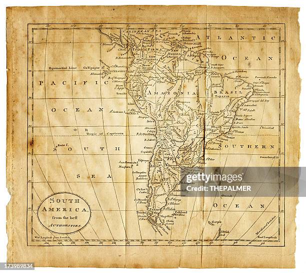
The earliest printed maps of South America emerged from the Age of Discovery, a time when European explorers were just beginning to grasp the true shape of the New World. Cartographers like Gerardus Mercator and Abraham Ortelius relied on a mixture of firsthand accounts from conquistadors, sailor’s logbooks, and classical geography from Ptolemy. These maps, often printed on thick laid paper or vellum, show a distinctly distorted continent. The Amazon River might be drawn as a single, impossibly straight line, and the Andes mountains are often represented as a uniform barrier of tiny, repetitive peaks. A key feature of these early maps is the presence of mythical lands—like the fabled El Dorado or the City of the Caesars—which were placed deep in the interior based on rumors of gold. These cartographic errors are not signs of poor craftsmanship; rather, they are invaluable historical records of what Europeans *believed* they would find.

Decoding the Artistic Elements: The Heart of the Antique Map
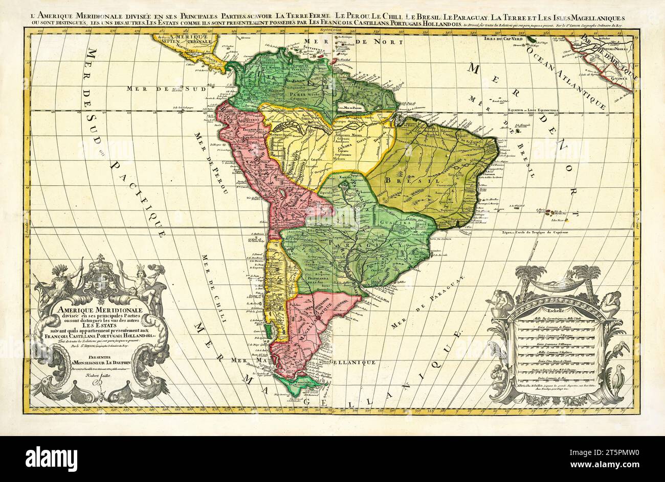
Old maps of South America are more than just geographical tools; they are works of art. The aesthetic value lies in their intricate design. Look closely at the decorative cartouches in the corner of these maps—they often contain elaborate allegorical scenes. A figure of an Amazon warrior might represent the river named after her, while illustrations of cannibals or exotic animals like the llama and armadillo fill unexplored territories. The use of color, or “hand-coloring,” is crucial. Early maps were printed in black and white, and then skilled artisans would paint on the borders, coastlines, and oceans using watercolors made from natural pigments. Deep green signified forests, light brown for mountains, and a vibrant blue for the Pacific and Atlantic. The presence of elaborate ship illustrations (carracks and galleons) and compass roses (windroses) are not mere decorations; they show the routes of navigation and the prevailing winds that were vital for sailing around Cape Horn.
Cartographic Evolution: From South America’s “Boot” to Its True Shape
Comparing an old parchment map from 1570 to one from 1770 reveals a dramatic transformation. Initially, the continent was often drawn too wide in the north and too narrow in the south. The Strait of Magellan, discovered in 1520, appeared as a narrow, dangerous passage, often with wrecked ships nearby as a warning. For centuries, the shape of Tierra del Fuego was debated—was it part of a vast southern continent (Terra Australis) or an island? Later maps, particularly those by the Dutch cartographer Jan Janssonius and later the French Cassini family, resolved these errors. The interior also changed. Early maps had blank spaces labeled “Terra Incognita” or “Partes Incognitae” (unknown regions). By the 1700s, Jesuit missions and Spanish colonial settlements began to fill these voids, with the Amazon River finally depicted as a vast, branching network rather than a single channel. This evolution makes owning a series of old maps a way to see the continent being “born” on paper.
Notable Cartographers and Their Masterpieces of South America
Several names are key to understanding old maps of South America. Gerardus Mercator (1512–1594) created the famous projection that sailors still use today; his 1569 world map shows South America with a pronounced curve to the coast of Brazil. Abraham Ortelius published the first modern atlas, *Theatrum Orbis Terrarum* (1570), which included a highly detailed South America with a large “Lake Parima” (the mythical lake of El Dorado) in the interior. Willem Blaeu and his son Joan, from the Dutch Golden Age, produced the most visually stunning maps of the continent. Their maps feature bright colors, gold highlights, and extremely accurate coastlines drawn from Dutch East India Company voyages. Later, in the 18th century, French mapmaker Guillaume Delisle removed many of the mythical features, replacing them with more scientific data. For collectors, a Blaeu map of Peru or a Delisle map of Brazil represents the pinnacle of cartographic art.

Practical Tips for Collecting and Preserving Old Maps
For the serious enthusiast, acquiring an old map of South America requires knowledge of condition. Look for maps on “laid paper” (with visible chain lines) or “wove paper” (smoother, from the late 18th century). The most valuable maps are those with original hand-coloring that is still vibrant, not faded or washed out. Check for water damage or acid staining, especially near the margins. Avoid maps that have been trimmed from their original margins, as that greatly reduces value. When storing your antique map, keep it away from direct sunlight to prevent fading, and store it flat in an archival-quality acid-free folder or frame it with UV-protective glass. The price can vary wildly; a common 19th-century atlas map might cost fifty dollars, while a rare 16th-century Blaeu map in good condition can sell for thousands. Always buy from reputable dealers who guarantee the map’s authenticity and age.
The Cultural Significance of the South American Territory
Beyond geography, old maps are mirrors reflecting the political ambitions of their time. A Spanish map of the 1600s will emphasize the viceroyalties of Peru and New Granada, while a Portuguese map will focus on the sprawling colony of Brazil, often shown with a line dividing it from Spanish lands (the Treaty of Tordesillas line). These maps were state secrets—tools for claiming territory, managing trade routes for silver from Potosí, and planning settlements. For modern viewers, an old map of South America tells a story of colonial power, Indigenous displacement, and the relentless push for resources like gold, rubber, and quinine. They are visual documents of how the continent was carved up and named, often ignoring the existing names used by the Inca, Mapuche, and Tupi peoples.
Conclusion
Old maps of South America are far more than decorative antiques; they are windows into a world of exploration, error, and eventual understanding. From the mythical lakes of El Dorado on a Mercator map to the precise coastlines of a 19th-century maritime chart, each map captures a specific moment in the continent’s history. Whether you are a collector, a historian, or simply a lover of art and travel, studying these cartographic relics allows you to trace the hand of the cartographer and the mind of the explorer. They remind us that our knowledge of the world is constantly being redrawn, and that the beauty of the map lies as much in its mistakes as in its truths. Preserving this legacy ensures that future generations can still marvel at the journey of how we came to know the great southern continent.
South America Map, 1885 - Original Art, Antique Maps & Prints
South America Map, 1885 - Original Art, Antique Maps & Prints
Old Map Of South America. By Jannson, Publ. In 1644 Stock Photo - Alamy
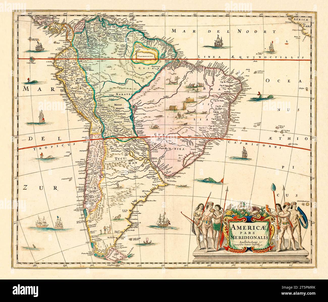
Old map of South America. By Jannson, publ. in 1644 Stock Photo - Alamy
800 Old Map South America Stock Photos, High-Res Pictures, And Images

800 Old Map South America Stock Photos, High-Res Pictures, and Images ...
Old Maps South America Stock Photo - Alamy
Old maps South America Stock Photo - Alamy
944 Old Map South America Stock Photos, High-Res Pictures, And Images

944 Old Map South America Stock Photos, High-Res Pictures, and Images ...
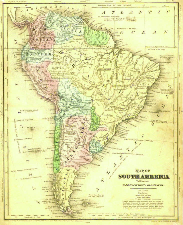
Old Map Of South America From Original Geography Textbook, 1884 Stock
Old map of South America from original geography textbook, 1884 Stock ...
Cartography: Old Map Of South America! Crazy How Things Change

Cartography: old map of South America! Crazy how things change ...
Old Map Of South America From Original Geography Textbook, 1884 Stock
Old map of South America from original geography textbook, 1884 Stock ...
Original Old Map South America Hi-res Stock Photography And Images - Alamy
Original old map south america hi-res stock photography and images - Alamy
953 Old Map South America Stock Photos, High-Res Pictures, And Images

953 Old Map South America Stock Photos, High-Res Pictures, and Images ...
Ancient South America Map At Robert Curl Blog

Ancient South America Map at Robert Curl blog
Old Map Of South America Gallery Of Photo Prints And Gifts
Old Map Of South America Gallery of Photo Prints and Gifts
Old Map Of South America | Woo! Jr. Kids Activities : Children's

Old Map of South America | Woo! Jr. Kids Activities : Children's ...
946 Old Map South America Stock Photos, High-Res Pictures, And Images

946 Old Map South America Stock Photos, High-Res Pictures, and Images ...
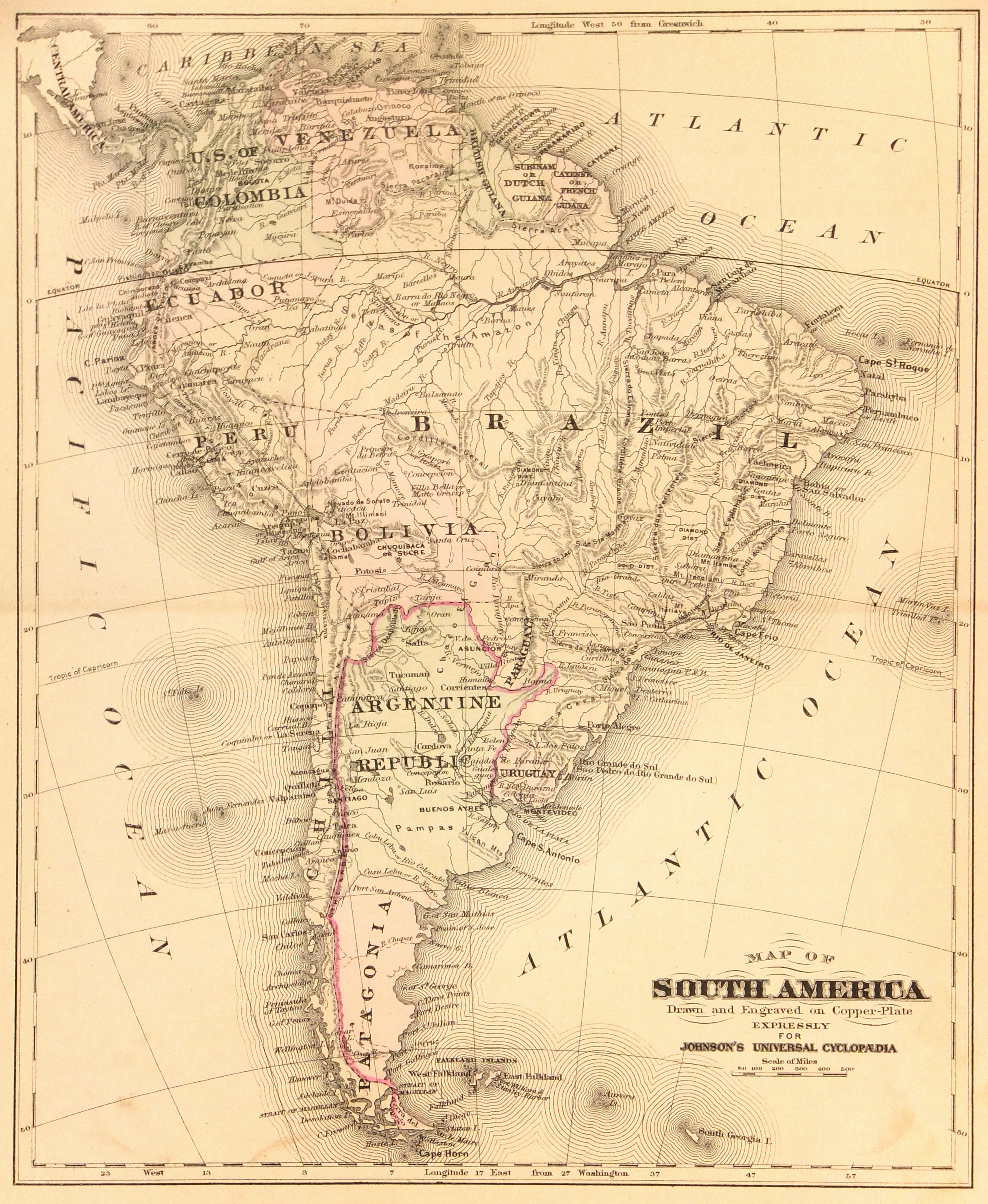
Old Map Of South America From 1859. The Map Shows The Contemporary

Old Map Of South America From 1859. The Map Shows The Contemporary ...
4,300+ Old Map South America Stock Photos, Pictures & Royalty-Free

4,300+ Old Map South America Stock Photos, Pictures & Royalty-Free ...
824 Old Map South America Stock Photos, High-Res Pictures, And Images

824 Old Map South America Stock Photos, High-Res Pictures, and Images ...
Ancient South America Map At Robert Curl Blog

Ancient South America Map at Robert Curl blog
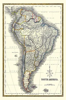
Antique South America Map - Old Map Of South America
Antique South America Map - Old Map of South America
944 Old Map South America Stock Photos, High-Res Pictures, And Images

944 Old Map South America Stock Photos, High-Res Pictures, and Images ...
SOUTH AMERICA || Michael Jennings Antique Maps And Prints
SOUTH AMERICA || Michael Jennings Antique Maps and Prints
Old Map Of South America, 1839 By Arrowsmith - Brazil, Galapagos

Old Map of South America, 1839 by Arrowsmith - Brazil, Galapagos ...
Antique Map Of South America - Old Cartographic Map - Antique Maps
Antique Map of South America - Old Cartographic Map - Antique Maps ...
944 Old Map South America Stock Photos, High-Res Pictures, And Images

944 Old Map South America Stock Photos, High-Res Pictures, and Images ...
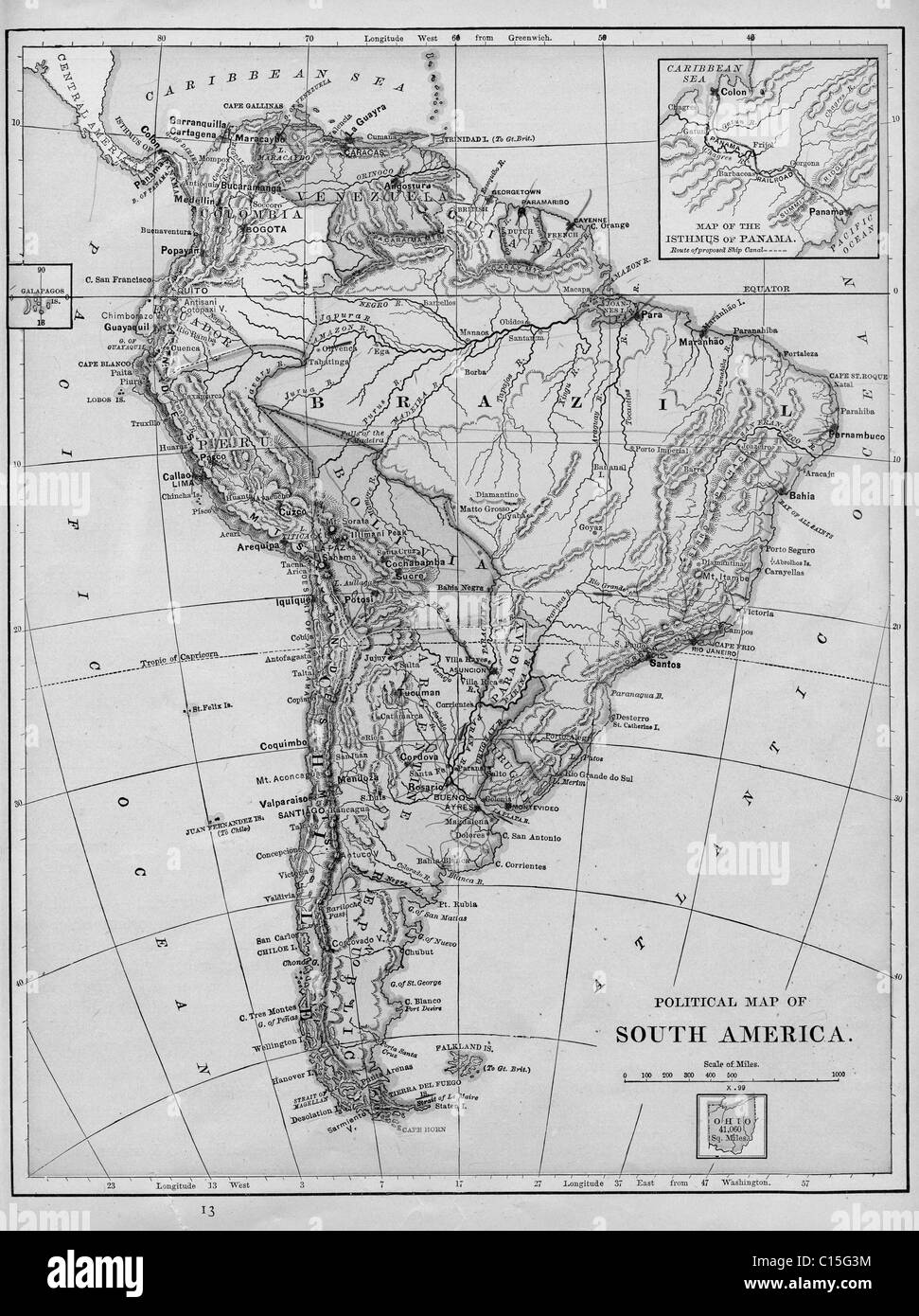
Large Detailed Old Political Map Of South America - 1892 | South
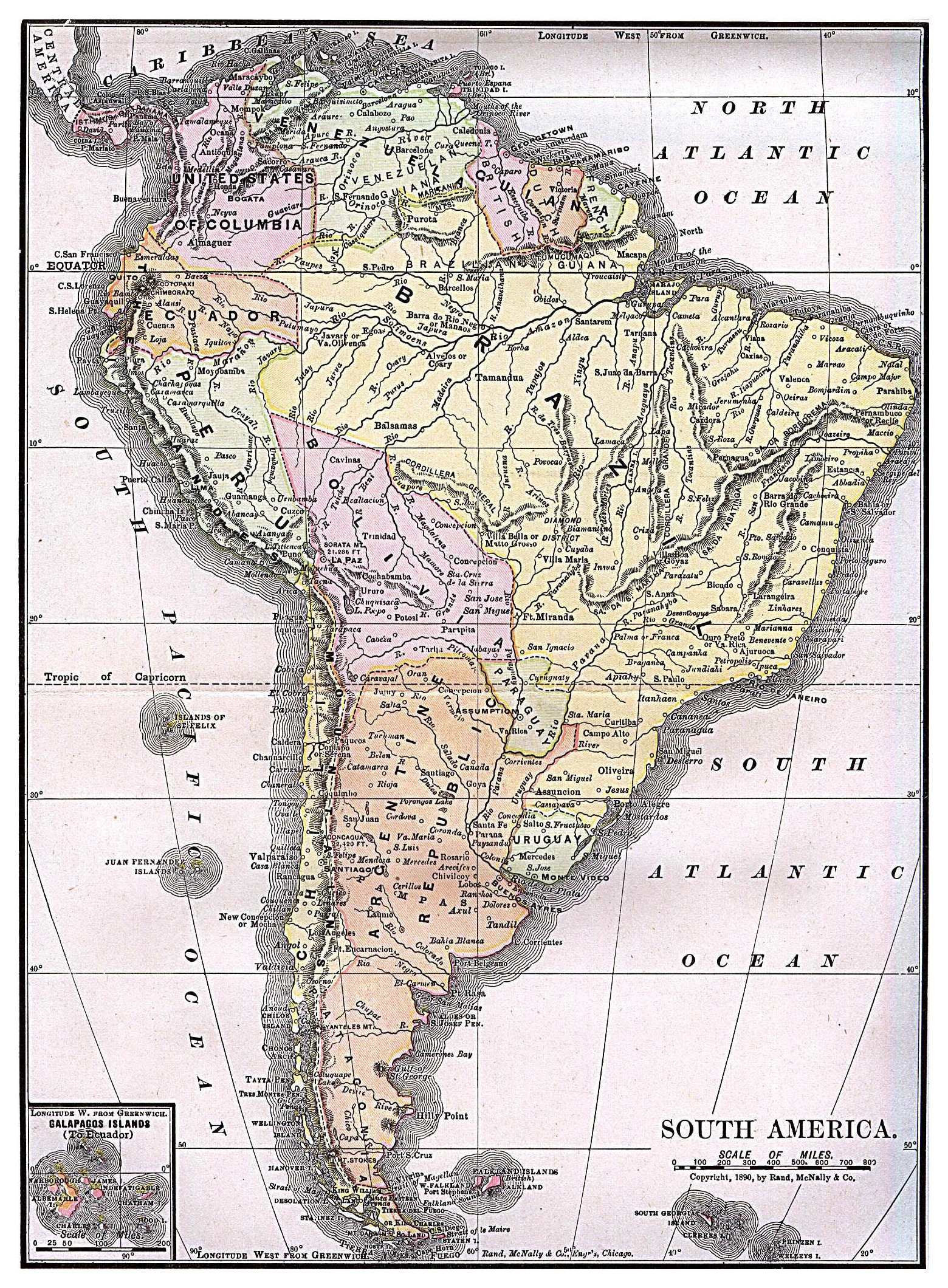
Large detailed old political map of South America - 1892 | South ...
Ancient South America Map At Robert Curl Blog

Ancient South America Map at Robert Curl blog
Old South America Map Collection Of Photo Prints And Gifts
Old South America Map Collection of Photo Prints and Gifts
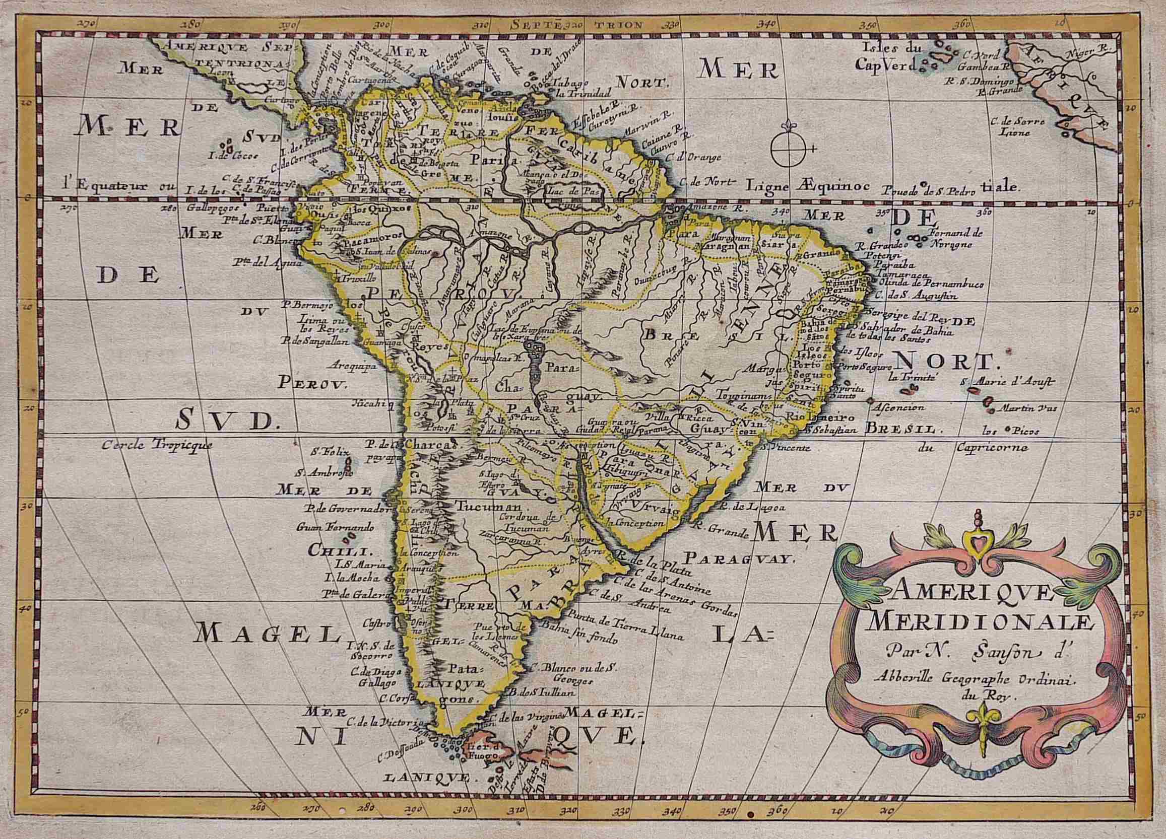
Old Map Of South America. By Sanson, Publ. In 1691 Stock Photo - Alamy
Old map of South America. By Sanson, publ. in 1691 Stock Photo - Alamy
90 Old Map South America Stock Videos, Footage, & 4K Video Clips

90 Old Map South America Stock Videos, Footage, & 4K Video Clips ...
Old Map Of South America Stock Image. Image Of Cracked - 9044721

Old map of South America stock image. Image of cracked - 9044721
824 Old Map South America Stock Photos, High-Res Pictures, And Images
824 Old Map South America Stock Photos, High-Res Pictures, and Images ...
I Remade My Old Map (South America) : R/Risk

I remade my old map (South America) : r/Risk
800 Old Map South America Stock Photos, High-Res Pictures, And Images

800 Old Map South America Stock Photos, High-Res Pictures, and Images ...