Explore South America: The Ultimate Kids' Map Guide with Countries, Capitals & Fun Facts
Welcome, young explorers! Get ready to journey across the vibrant continent of South America, home to the Amazon Rainforest, the Andes Mountains, and the world’s largest river. In this guide, you’ll learn how to read a map of South America, identify every country and its capital, discover amazing animals and landmarks, and even create your own colorful map. By the end, you’ll be a South America map expert!
Where Is South America on the World Map?
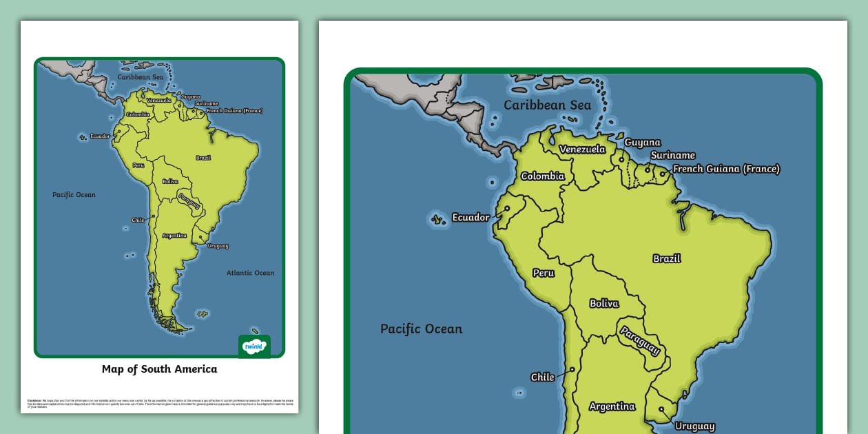
South America is a huge continent located mostly in the Southern Hemisphere. It sits south of North America, connected by a narrow strip of land called Central America. To its east lies the Atlantic Ocean, and to its west is the Pacific Ocean. If you look at a globe, South America looks like a giant triangle pointing down toward Antarctica. The continent stretches from the warm Caribbean Sea in the north to the icy tip of Patagonia in the south.
All 12 Countries of South America – Made Simple
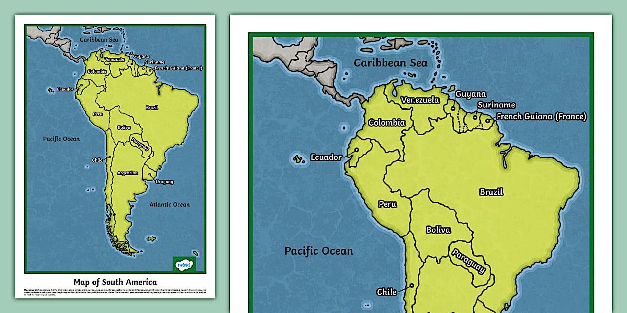
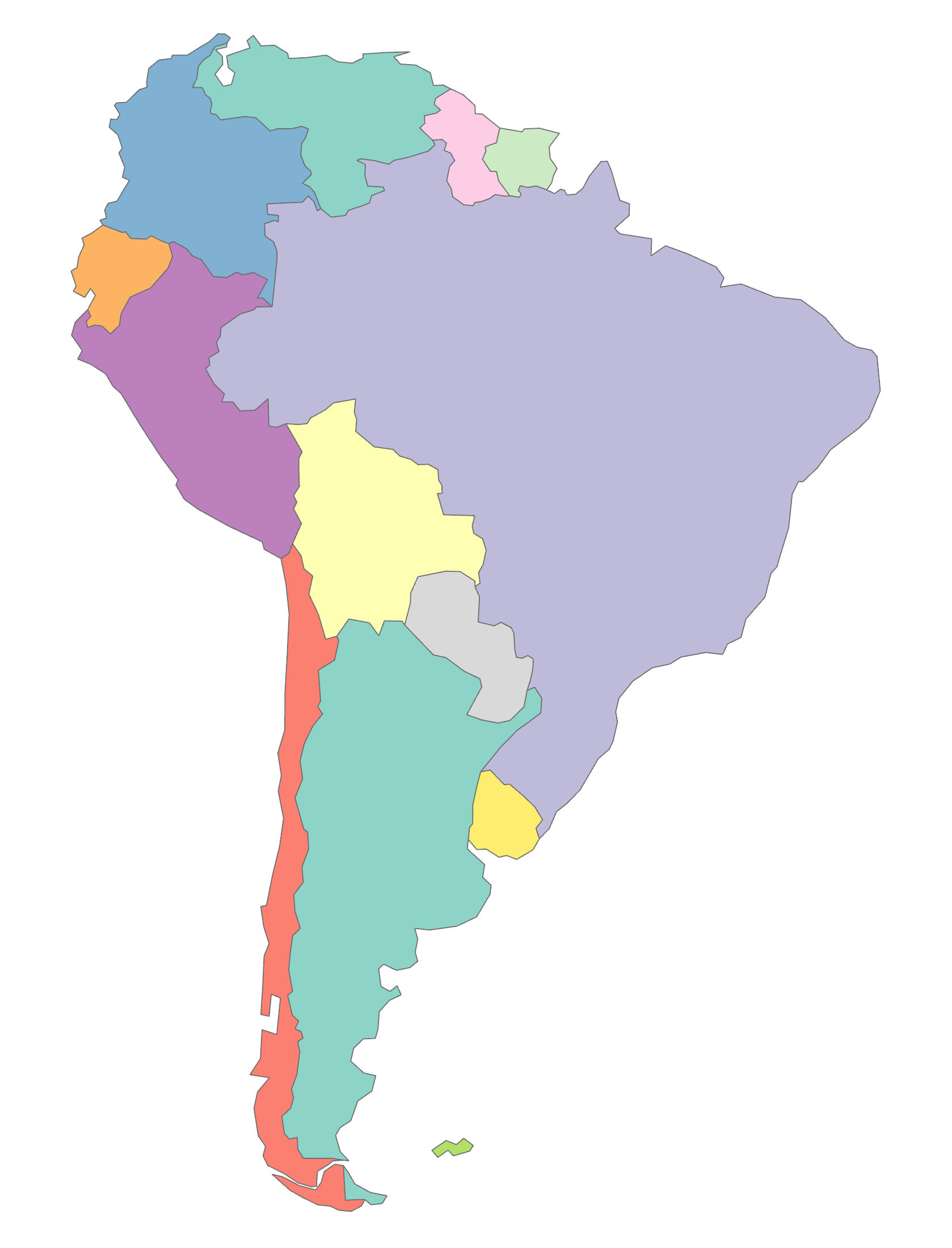
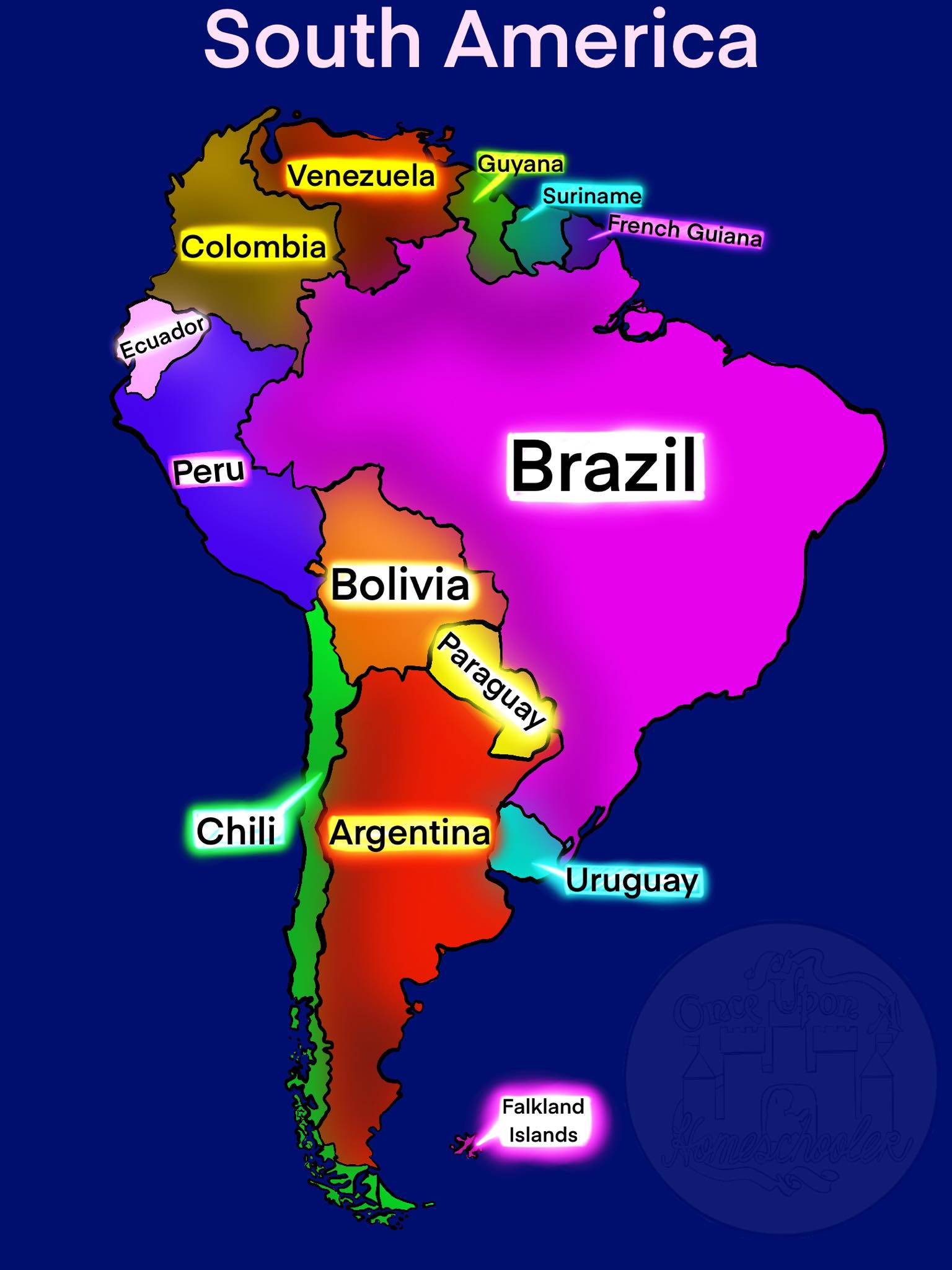
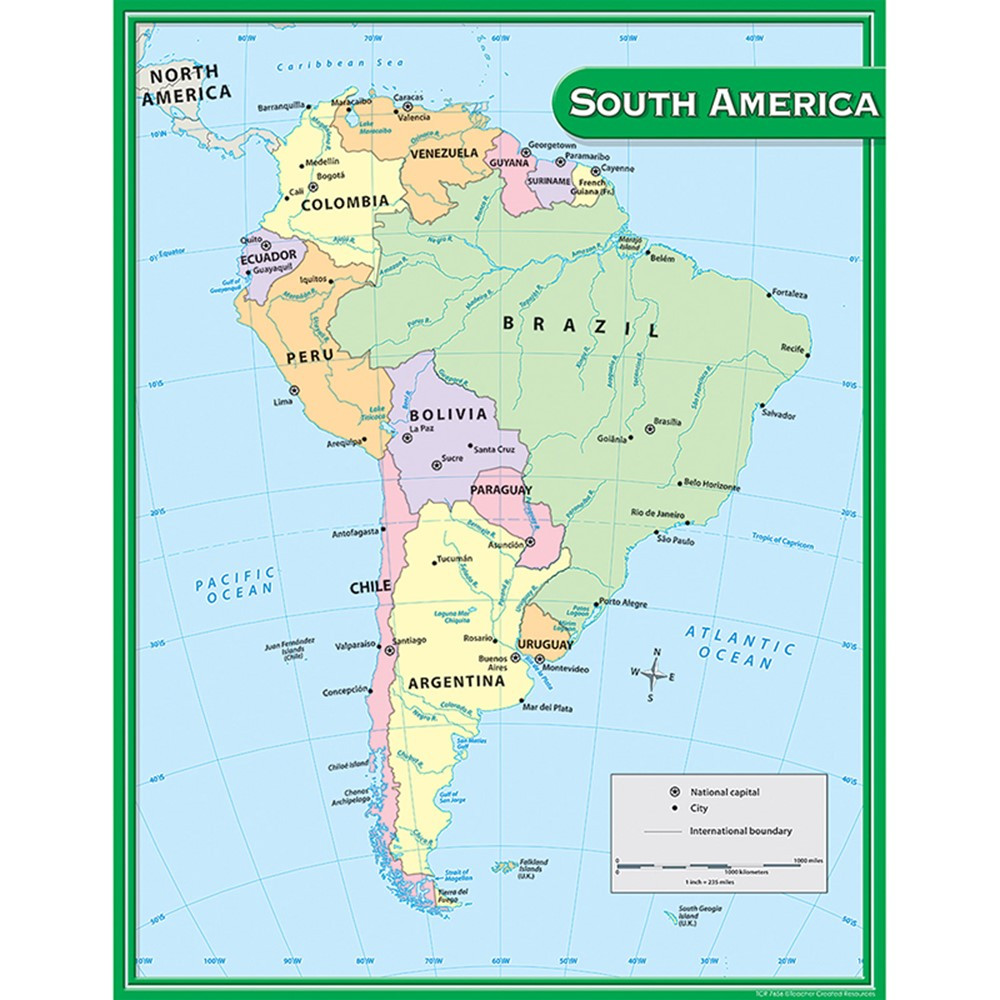
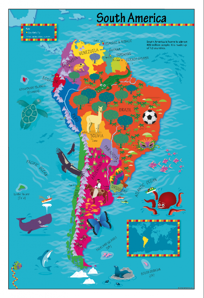
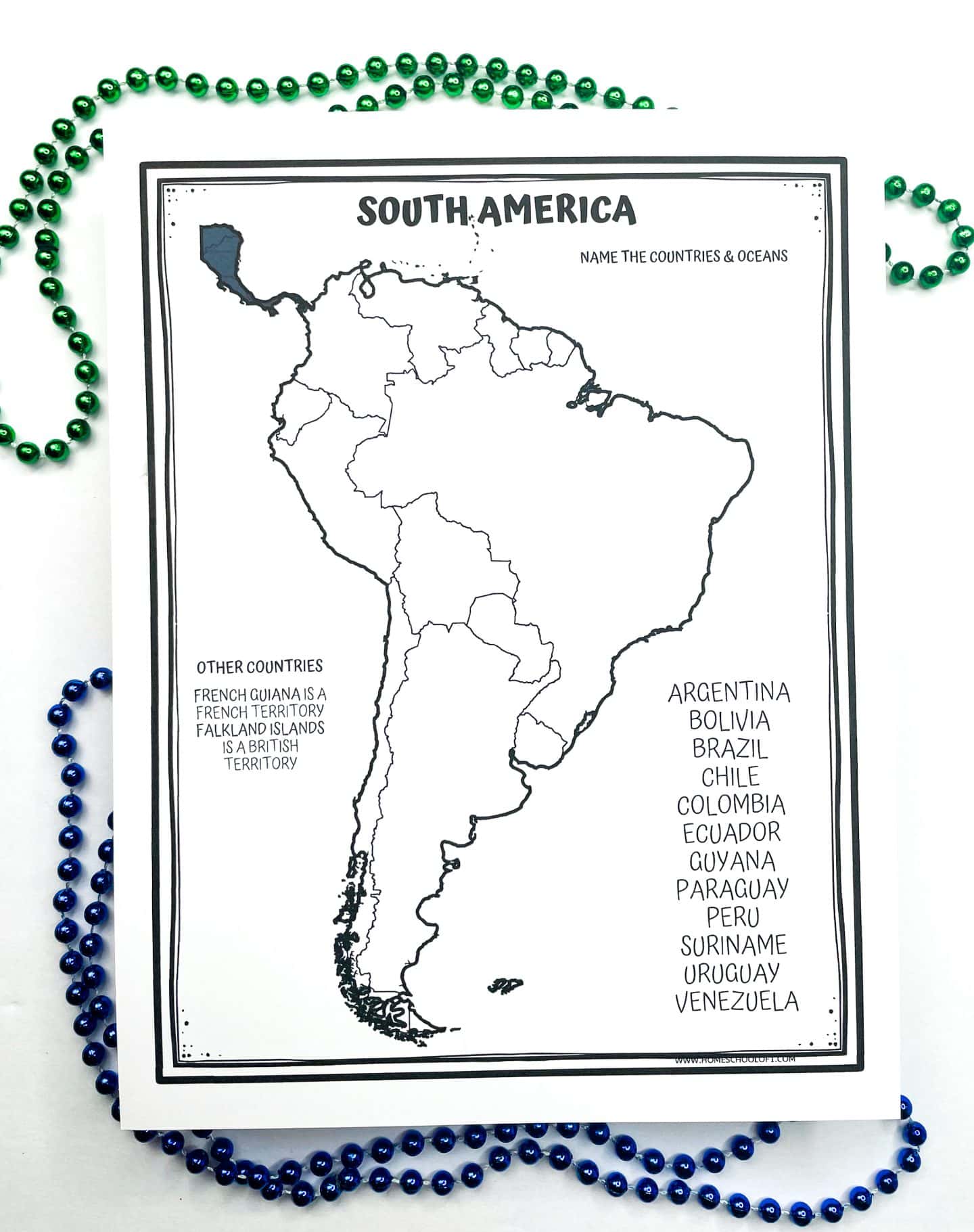
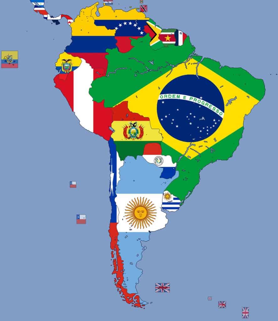
South America has 12 independent countries. That might seem like a lot, but here’s a fun trick: remember them by size! The largest country is Brazil, which takes up almost half the continent. The second largest is Argentina, down in the south. Then comes Peru, home to the ancient Inca city of Machu Picchu. Next up are Colombia (famous for coffee and colorful cities), Bolivia (with the highest capital city in the world, La Paz), Venezuela (home to Angel Falls, the tallest waterfall on Earth), and Chile (a super long, skinny country on the Pacific coast). The smaller countries are: Ecuador (right on the Equator), Guyana (English-speaking), Suriname (Dutch-speaking), Paraguay (landlocked and known for the Itaipu Dam), and Uruguay (known for gauchos and beaches). Don’t forget the overseas territory of French Guiana – it’s not a country, but it’s part of France!
Capitals, Flags, and Fun Facts for Each Country
Every country in South America has a capital city, and many have amazing stories. Here’s a quick tour:
- Brazil – Capital: Brasília. Fun fact: Brazil is the only Portuguese-speaking country in South America.
- Argentina – Capital: Buenos Aires. Fun fact: Tango dancing was born here.
- Peru – Capital: Lima. Fun fact: The Amazon River starts high in the Peruvian Andes.
- Colombia – Capital: Bogotá. Fun fact: Colombia has over 1,900 species of birds – more than any other country.
- Bolivia – Capital: Sucre (constitutional) and La Paz (administrative). Fun fact: The Salar de Uyuni salt flats are so flat they are used to calibrate satellites.
- Venezuela – Capital: Caracas. Fun fact: Angel Falls drops 979 meters – that’s 19 times taller than Niagara Falls.
- Chile – Capital: Santiago. Fun fact: Chile is home to the Atacama Desert, the driest place on Earth.
- Ecuador – Capital: Quito. Fun fact: The Galapagos Islands are part of Ecuador and inspired Charles Darwin’s theory of evolution.
- Guyana – Capital: Georgetown. Fun fact: The name Guyana means “land of many waters.”
- Suriname – Capital: Paramaribo. Fun fact: Over 90% of Suriname is covered in tropical rainforest.
- Paraguay – Capital: Asunción. Fun fact: Paraguay is one of only two landlocked countries in South America.
- Uruguay – Capital: Montevideo. Fun fact: Uruguay is the smallest Spanish-speaking country in South America.

Major Landmarks & Natural Wonders to Find on a Map
When you look at a South America map, you’ll spot some amazing natural features. The Andes Mountains run like a spine along the entire western side of the continent – they are the longest mountain range on land. The Amazon Rainforest covers most of northern Brazil and spills into neighboring countries. Look for the Amazon River snaking from Peru across Brazil to the Atlantic. In the south, you can find the Patagonian Desert and the Iguazu Falls (shared by Argentina and Brazil). In the north, the Pantanal wetlands in Brazil and Bolivia are home to jaguars and giant river otters. Don’t miss the Atacama Desert in Chile, where some parts have never seen rain!
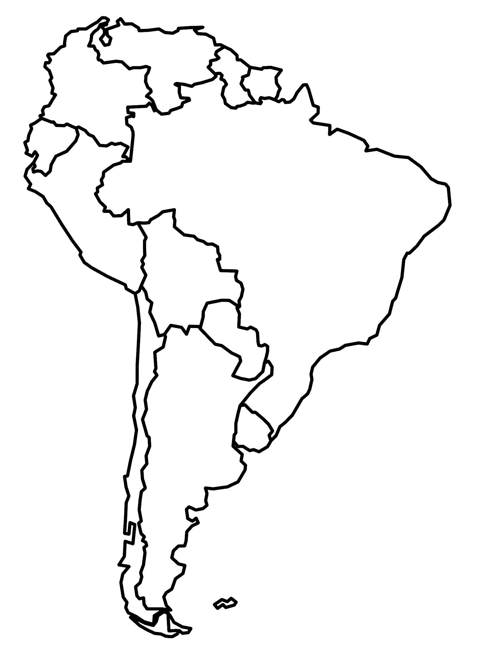
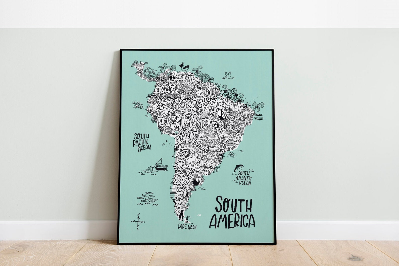
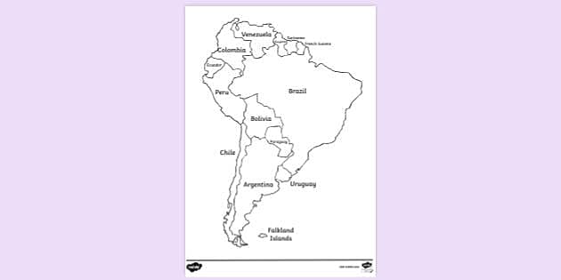
How to Make Your Own South America Map
Want to become a cartographer? Here’s how to draw and color your very own map of South America. First, print a blank outline map (like the one shown above). Use different colors for each country to make them stand out. Write each country’s name and capital city. Add a compass rose showing North, South, East, West. Then add small icons: a palm tree for Brazil, a llama for Peru, a penguin for Chile (yes, penguins live there!), and a waterfall for Venezuela. You can even draw the Amazon River as a wavy blue line. Share your finished map with friends and test each other on the capitals!
Fun Geography Games to Play with a Map
Learning the map doesn’t have to be boring. Try these games:
1. Spin and Point: Spin a bottle on your map and name the country where it stops – say its capital in 5 seconds.
2. Map Race: Ask a friend to call out a country, and you race to point to it on the map.
3. Puzzle Time: Cut out each country shape from a printed map, mix them up, and see how fast you can put South America back together.
4. Animal Match: Write the names of animals (jaguar, anaconda, toucan, capybara) on sticky notes and place them where they live on the map.
Conclusion
Now you know how to read a map of South America like a pro! You can name all 12 countries, point out their capitals, find the Amazon and the Andes, and even create your own colorful map to share. South America is a continent bursting with life, color, and adventure – and with your map skills, you can explore it all without leaving your room. Keep practicing, and soon you’ll be teaching your friends how to find Paraguay on a blank map. Adventure awaits!
Map Of South America Worksheets - Free Image & PDF Printables

Map of South America Worksheets - Free Image & PDF Printables
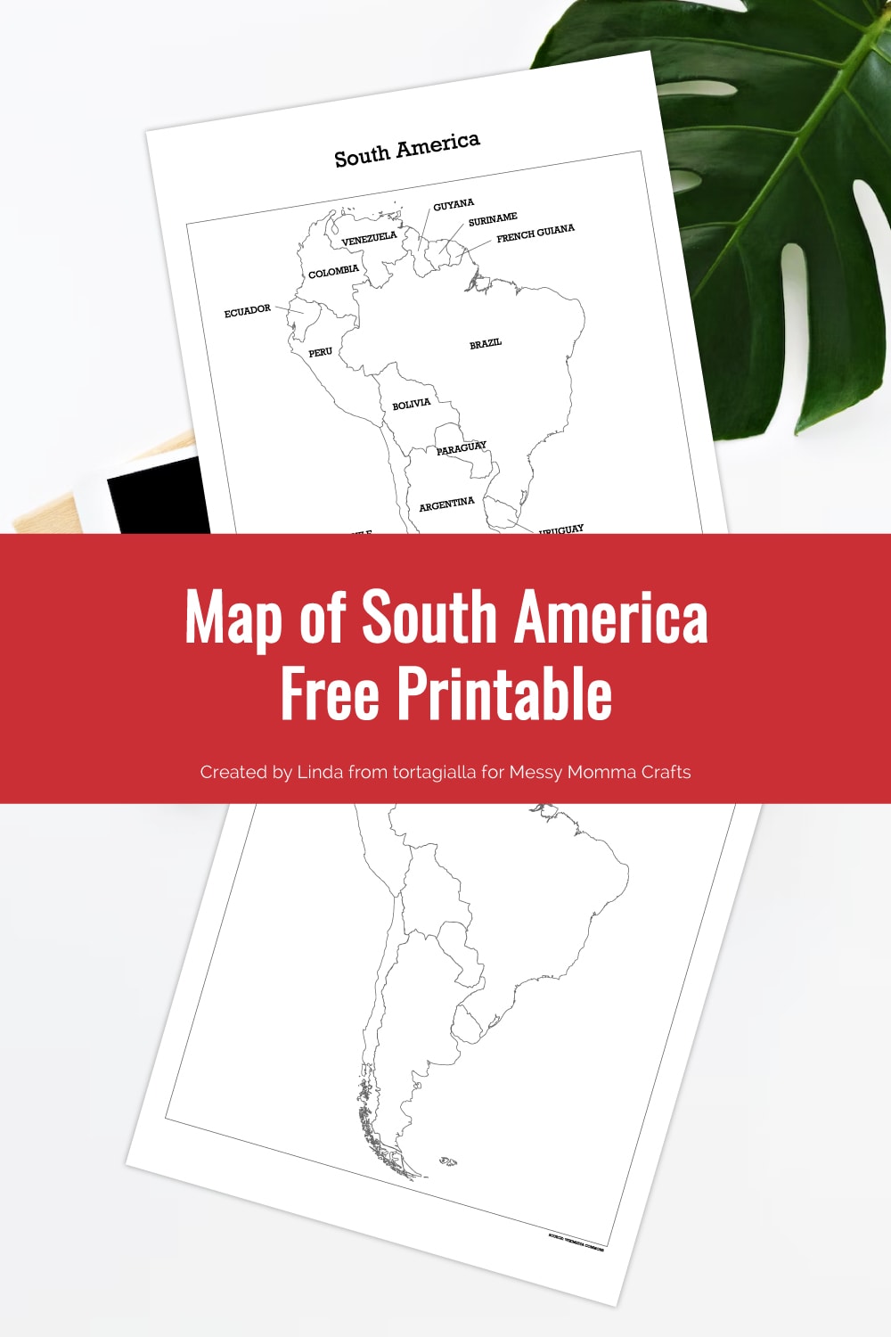
Map Of South America Free Printable - Messy Momma Crafts
Map of South America Free Printable - Messy Momma Crafts
Large Printable South America Map | Print At Home

Large Printable South America Map | Print at Home
Blank Map Of South America Printable PDF
Blank Map of South America Printable PDF
Labeled Map Of South America - World Map With Countries

Labeled Map of South America - World Map with Countries
Printable South America Map For Kids Homeschool Learning Latin America
Printable South America Map for Kids Homeschool Learning Latin America ...
KS2 Labelled Map Of South America (teacher Made) - Twinkl
KS2 Labelled Map of South America (teacher made) - Twinkl
South America Map Practice - Labelled Diagram
South America Map Practice - Labelled diagram
Showing Off My Colored Map Of South America Kids Learning Tube - YouTube

Showing off my colored map of South America Kids Learning Tube - YouTube
Blank Physical Map Of South America
Blank Physical Map Of South America
South America Map
South America Map
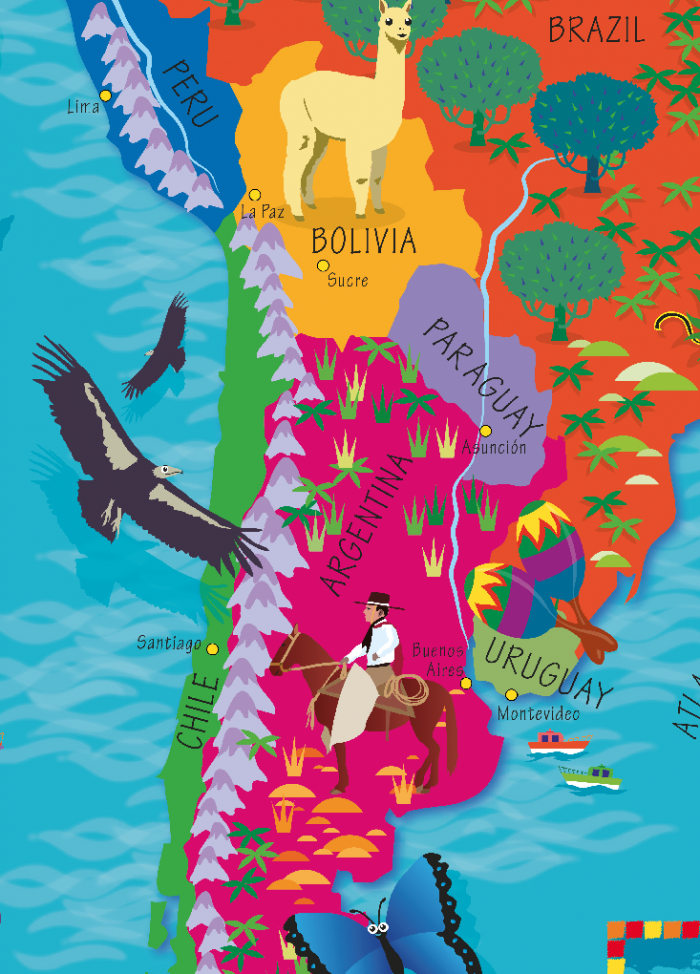
South America Illustrated Map For Kids Room Decor. Educational | Etsy
South America Illustrated Map for Kids Room Decor. Educational | Etsy
KS1 Labelled Map Of South America (teacher Made) - Twinkl
KS1 Labelled Map of South America (teacher made) - Twinkl
Plain Map Of South America For Children

Plain map of south america for children
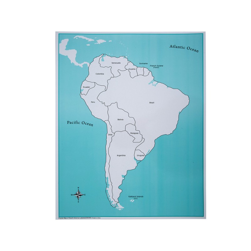
South America Map Chart - TCR7656 | Teacher Created Resources | Maps
South America Map Chart - TCR7656 | Teacher Created Resources | Maps ...
South America Map
South America Map
Children's Picture South America Map - Large - Cosmographics Ltd
Children's Picture South America Map - Large - Cosmographics Ltd
41 Map Of South America With Labels

41 map of south america with labels
Map Of South America Free Printable - Messy Momma Crafts
Map of South America Free Printable - Messy Momma Crafts
Map Quotes, Galapagos Ecuador, Tropic Of Capricorn, Asia Continent

Map Quotes, Galapagos Ecuador, Tropic Of Capricorn, Asia Continent ...
Doodle Freehand Drawing Of South America Map. 13079265 PNG

doodle freehand drawing of south america map. 13079265 PNG
South America Control Map - Labeled | E&O Montessori, US
South America Control Map - Labeled | E&O Montessori, US
FREE South America Printable Colorful Map

FREE South America Printable Colorful Map
Map Of South America Worksheets - Free Image & PDF Printables

Map of South America Worksheets - Free Image & PDF Printables
Free Printable Blank Map Of South America Worksheet
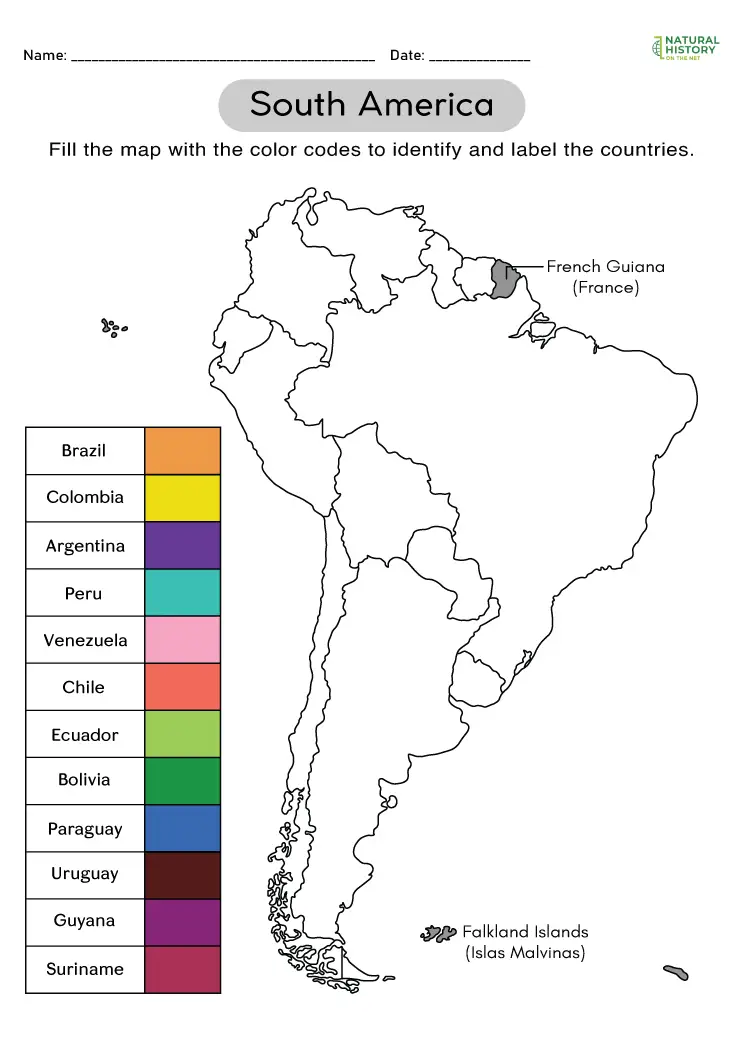
Free Printable Blank Map of South America Worksheet
Map Of South America Label South America By Teach Simple

Map of South America Label South America by Teach Simple
Map Of South America Printable

Map Of South America Printable
Printable South America Map - Printable Board Games

Printable South America Map - Printable Board Games
Printable South America Map – PrintableLib

Printable South America Map – PrintableLib
South America World Map Print! A Wonderful Addition To Any Nursery

South America World Map Print! A wonderful addition to any nursery ...
Children's South America Picture Map - Cosmographics Ltd
Children's South America Picture Map - Cosmographics Ltd
Free South America Worksheets For Kids (Maps, Flags, Facts & More)
Free South America Worksheets for Kids (Maps, Flags, Facts & More)
Ultimate South America Map Quiz | 67+ Quiz Questions To Know In 2025
Ultimate South America Map Quiz | 67+ Quiz Questions to Know in 2025 ...