Minimalist Map of Southeast Asia Countries: A Visual Guide to the Region
Welcome to your visual journey through Southeast Asia. This guide will walk you through the key countries of this vibrant region using a minimalist map aesthetic. Whether you are a traveler planning your next adventure, a student studying geopolitics, or a designer seeking clean visual references, you will learn to identify each nation, understand its geographical neighbors, and appreciate the simplicity of modern cartographic design. We will break down the mainland and maritime zones, highlight essential physical features, and show you how minimalist maps make complex data easy to digest.
Why Choose a Minimalist Map of Southeast Asia?
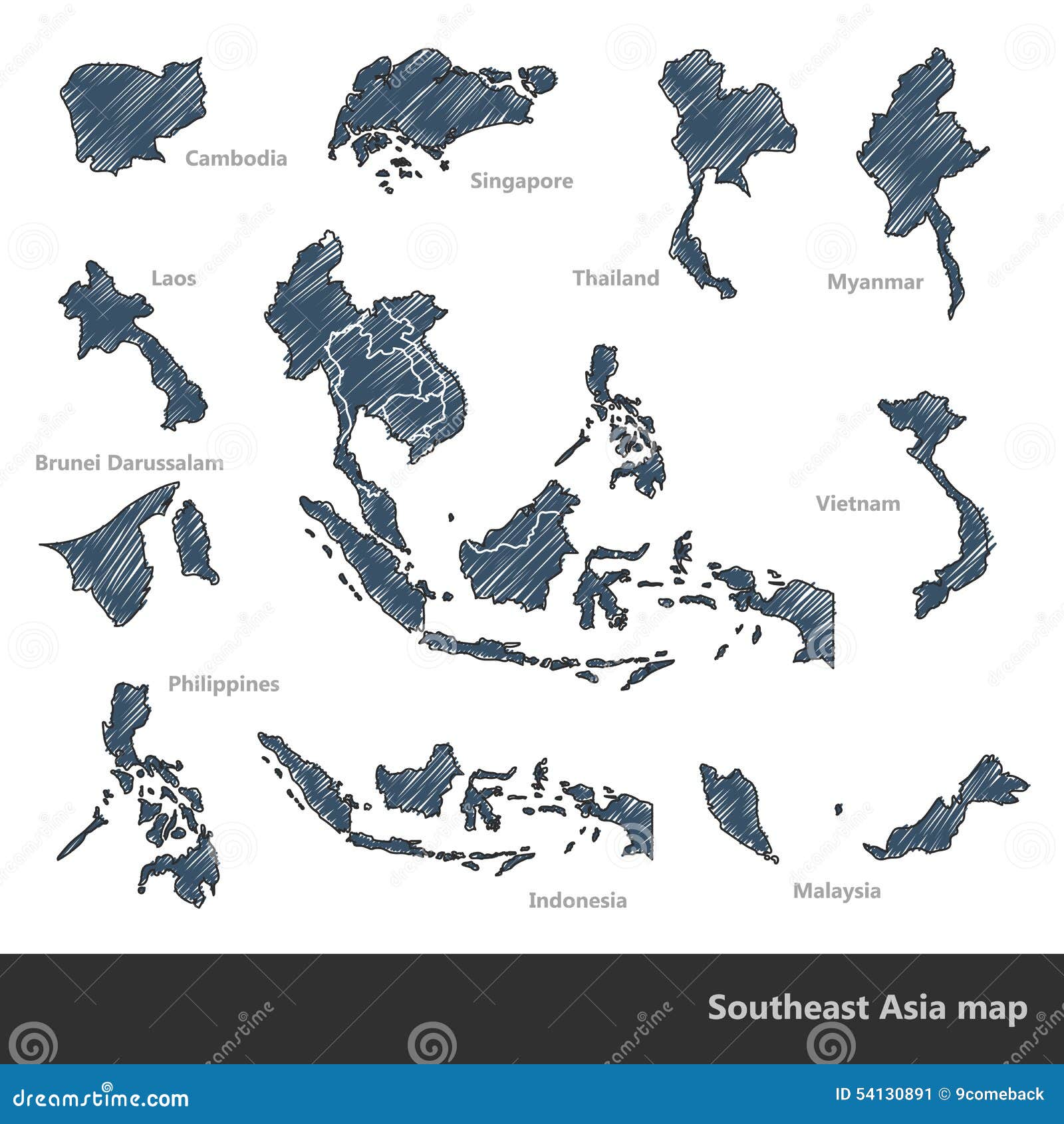
A minimalist map strips away unnecessary clutter—unreadable city labels, chaotic borders, and excessive color—leaving only the essential shapes and clear country outlines. For Southeast Asia, which includes a mix of large mainland nations like Thailand and Vietnam alongside island chains like Indonesia and the Philippines, a minimalist approach helps the viewer grasp the region's sprawling geography at a glance. These maps emphasize clean lines, neutral tones (often white, gray, or beige), and prominent coastlines. They are ideal for presentations, infographics, or printable reference sheets. You can find free versions online, such as the blank map from PNG platforms or stock image sites, which serve as excellent base templates for custom projects.
Mainland Southeast Asia: The Core Countries
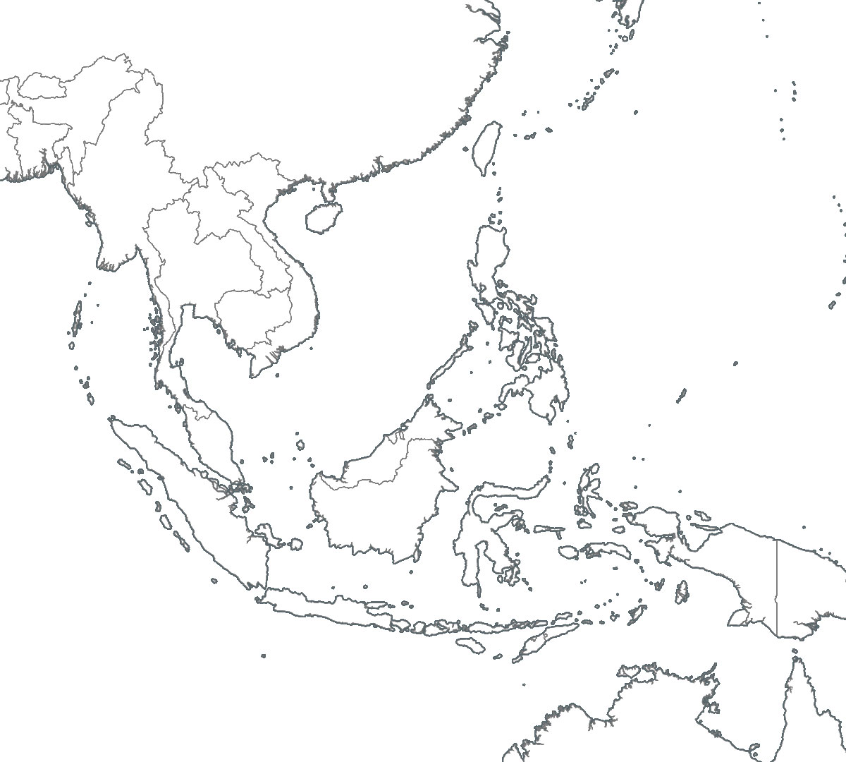
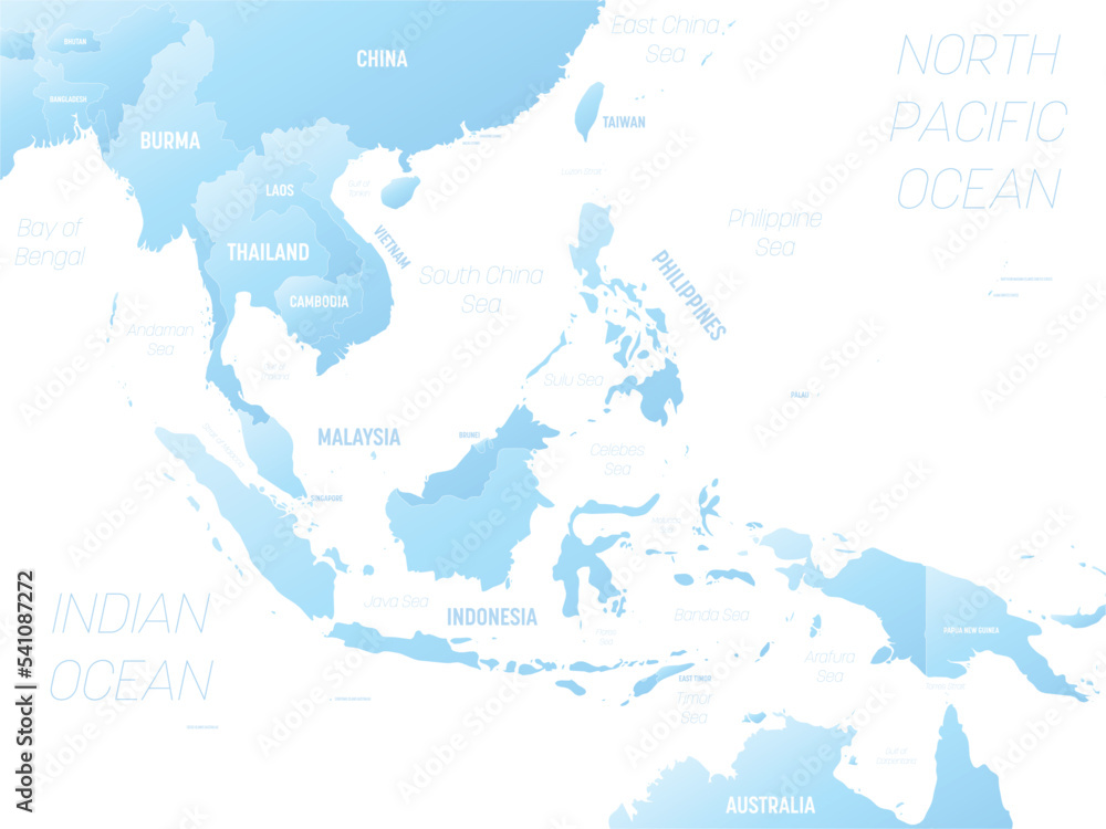
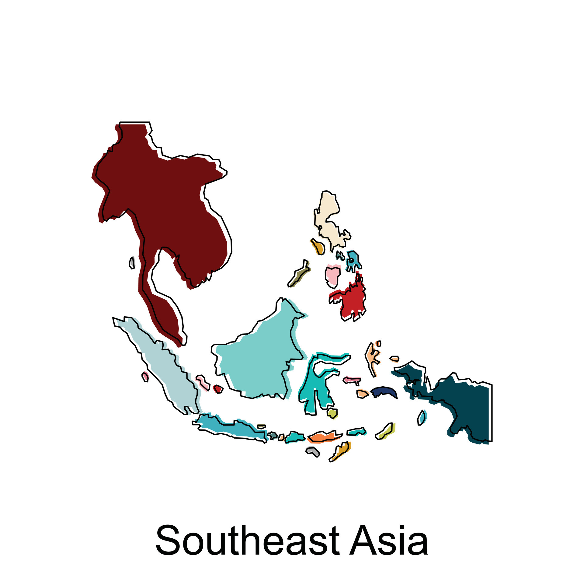
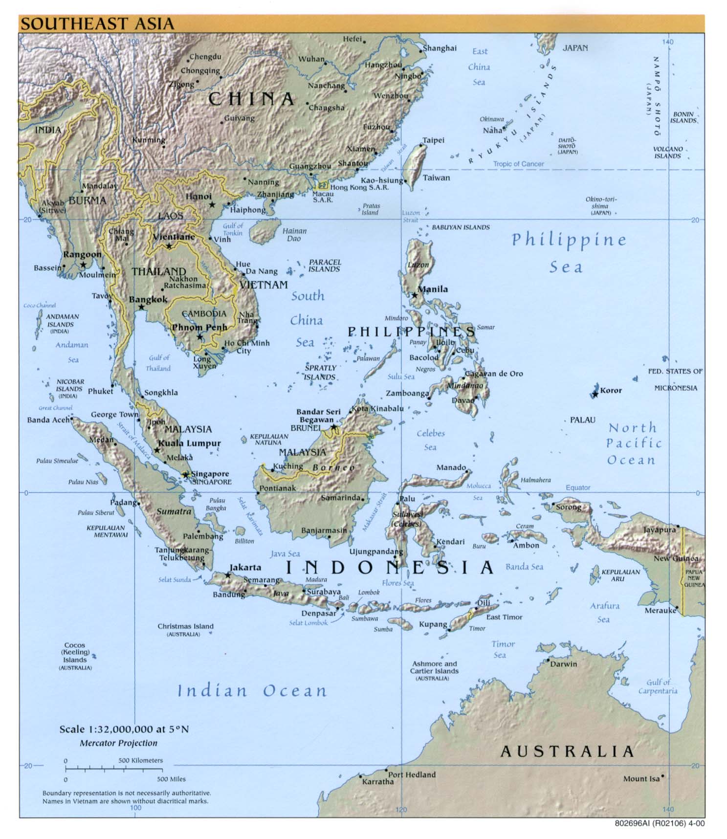
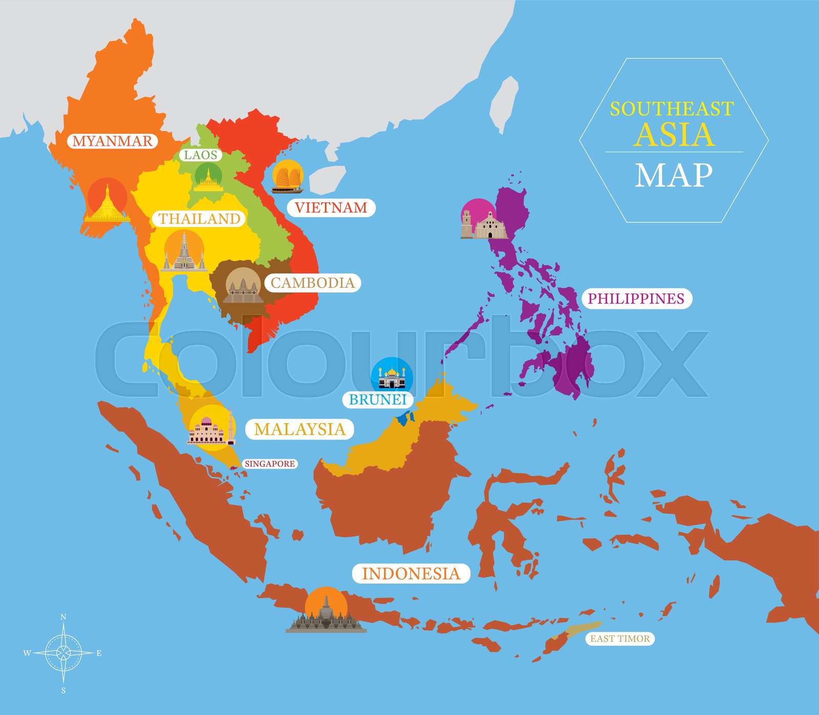
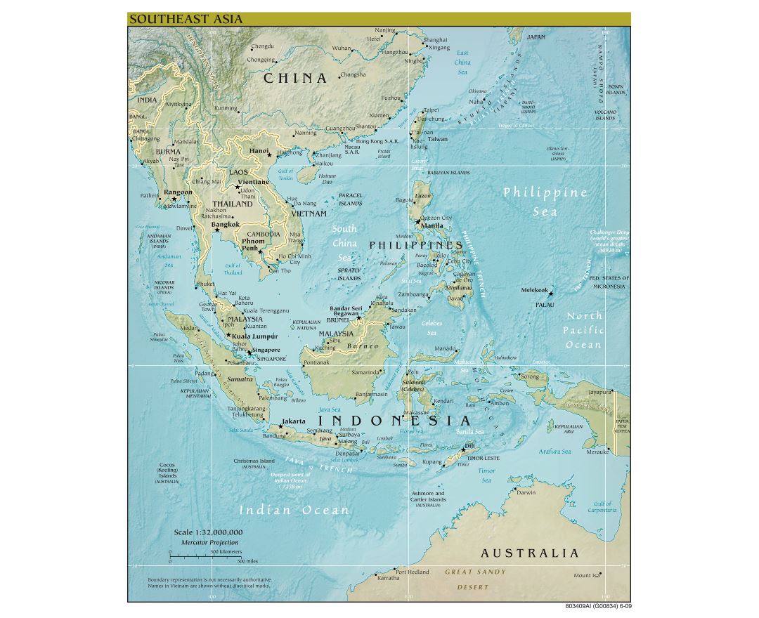
The mainland portion of Southeast Asia is dominated by rugged mountain ranges and major river systems like the Mekong. On a minimalist map, these countries appear as distinct, landlocked or peninsular shapes. Myanmar sits in the northwest, bordering Bangladesh and India, while Thailand occupies the central region with its distinctive elephant-head shape. Laos is the only fully landlocked nation in the region, nestled between Thailand and Vietnam. Vietnam stretches like a long, curving S-shape along the South China Sea. Cambodia sits south of Laos and west of Vietnam, identified by the large lake, Tonlé Sap, often marked as a small blue circle on minimalist versions. A simple black-and-white or gray-scale map makes these borders easy to distinguish without color.

Maritime Southeast Asia: Islands and Archipelagos
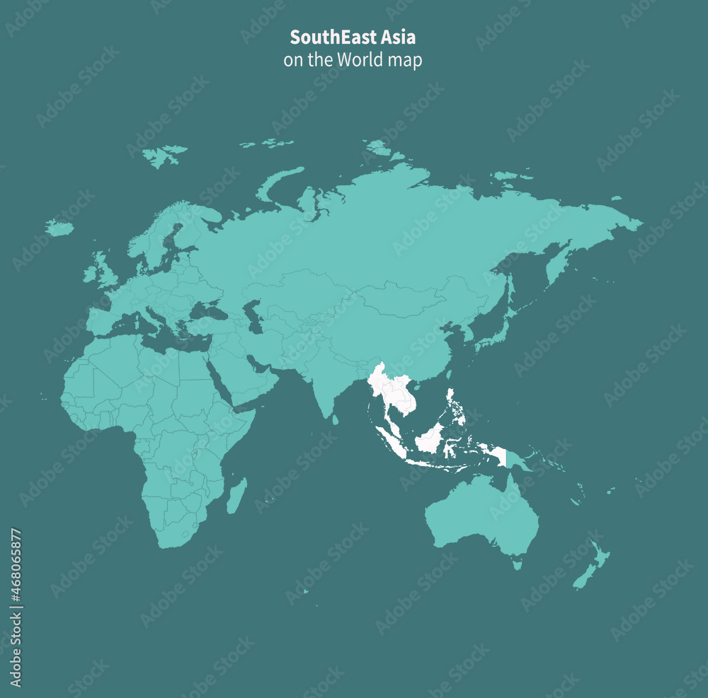
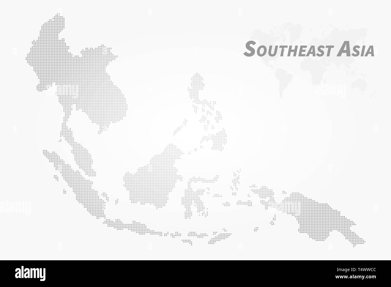
To the south and east of the mainland, the geography shifts dramatically into thousands of islands. A minimalist map excels here by using simple shapes to represent massive archipelagos. Indonesia, the world's largest island nation, appears as a chain of elongated shapes curving from Sumatra to Papua. Philippines is drawn as a cluster of teardrop-like islands stretching north to south. Malaysia is unique: it has two distinct parts. The western part (Peninsular Malaysia) sits just south of Thailand, while the eastern part (Malaysian Borneo) shares the island of Borneo with Brunei and Indonesia. Singapore is a tiny diamond-shaped dot at the southern tip of Peninsular Malaysia. Brunei is caught between the two Malaysian states of Sarawak and Sabah on Borneo. Timor-Leste is a small, narrow shape on the eastern half of the island of Timor, often overlooked on busy maps but clearly visible on a minimalist one.

Physical Features on a Minimalist Map
Even in a minimalist design, physical geography adds context. The most striking feature is the Mekong River, shown as a thin, winding line from China’s border through Laos, Thailand, Cambodia, and into Vietnam’s delta. Mountain ranges are often depicted as subtle shading or dotted lines, such as the Annamite Range separating Vietnam from Laos and Cambodia. The Gulf of Thailand and the South China Sea are usually labeled with simple sans-serif text. Coastal plains around the deltas of the Irrawaddy (Myanmar) and Red River (Vietnam) may be hinted at with lighter shading. These elements, while minimal, give the viewer a sense of the region’s tropical terrain and why so many historical trade routes hugged the coasts.
How to Read and Use a Minimalist Map
Reading a minimalist map is about recognizing shapes and relative positions. Start by identifying the big mainland countries first. Then move to the islands. Notice that Thailand and Myanmar share a long, straight border running roughly north-south. Vietnam and Cambodia have a simpler, squarish border in the south. In the islands, look for the long straight line between Malaysia and Indonesia on the island of Borneo. Because minimalist maps lack dense text, a simple legend—often using numbers or initials—is used. For example, "TH" for Thailand, "ID" for Indonesia. This makes the map suitable for a wide audience, including children and non-native English speakers. You can print a blank version and color-code it yourself to memorize fast.
Benefits of Blank and Minimalist Map Styles
Blank and minimalist maps offer unmatched versatility. Teachers use them for quizzes where students must label capitals or major rivers. Designers use them as base layers for infographics about tourism, trade, or biodiversity. Travel enthusiasts often use them to plan itineraries, pinning destinations on a clean background. The absence of distracting visual noise allows the user to focus on spatial relationships—for instance, seeing how close Singapore is to Indonesia, or how Vietnam’s long coastline directly faces the South China Sea. Both the PNG-wing-style outline and the Shutterstock-style physical map provided above are excellent starting points; the former is pure boundaries, the latter adds a touch of physical relief without overwhelming detail.
Conclusion
A minimalist map of Southeast Asia is more than just a design preference—it is a powerful educational and planning tool. By focusing on clean outlines, simplified coastlines, and essential labels, you can quickly learn the relative positions of all eleven countries: Thailand, Vietnam, Laos, Cambodia, Myanmar, Malaysia, Singapore, Indonesia, Philippines, Brunei, and Timor-Leste. The maps available online, from blank outlines to shaded physical versions, give you the freedom to customize your learning or project. Whether you are tracing the Mekong River’s path or plotting a backpacking route through the islands, these clean maps will provide clarity without the clutter.
Blank Southeast Asia Map South East Asia Map Blank

Blank Southeast Asia Map South East Asia Map Blank
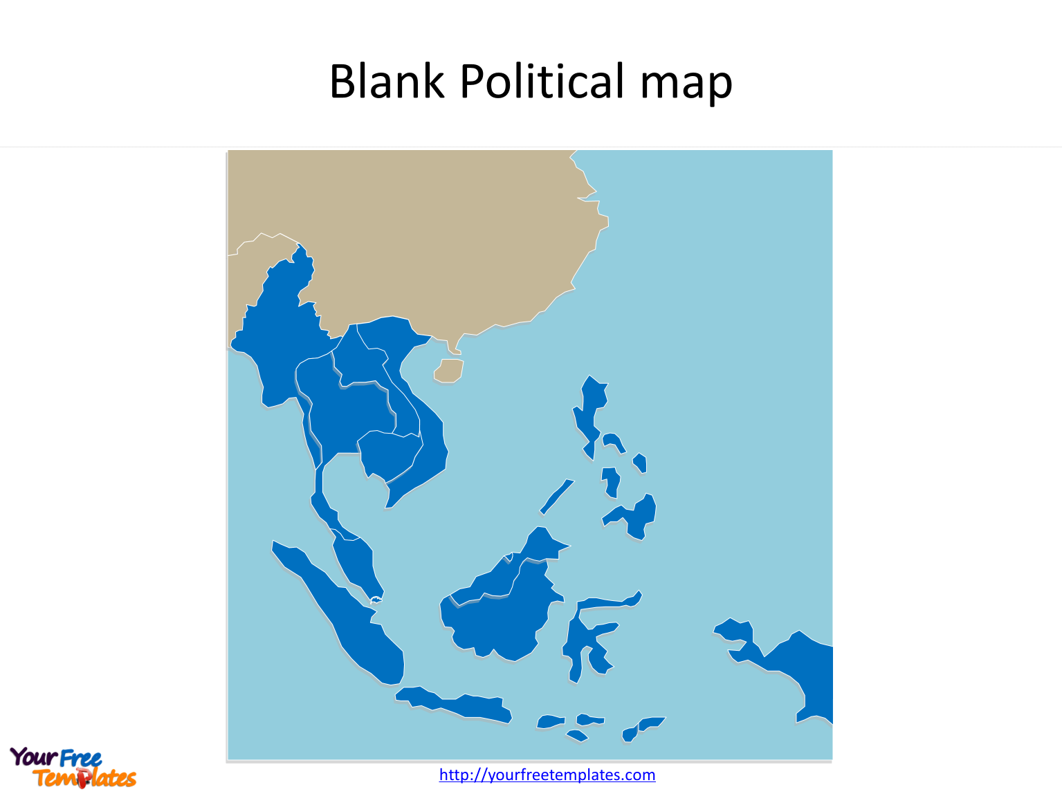
Blank Political Map Of Southeast Asia

Blank Political Map Of Southeast Asia
Blank Map Of Southeast Asia To Label Jb7I7 - Large Map Of Asia
Blank Map Of Southeast Asia To Label Jb7I7 - Large Map of Asia
Southeast Asia Detailed Political Map With Lables Stock Vector | Adobe
Southeast Asia detailed political map with lables Stock Vector | Adobe ...
Blank Political Map Of Southeast Asia Map Outline
Blank Political Map Of Southeast Asia Map Outline
Southeast Asia Map Dot Royalty-Free Images, Stock Photos & Pictures
Southeast Asia Map Dot Royalty-Free Images, Stock Photos & Pictures ...
Southeast Asia Simple Outline Blank Map Stock Vector | Adobe Stock
Southeast Asia simple outline blank map Stock Vector | Adobe Stock
Free Vectors | Southeast Asia Map (blank Map) World Map

Free Vectors | Southeast Asia map (blank map) World map
Southeast Asia Map Vector Art, Icons, And Graphics For Free Download

Southeast Asia Map Vector Art, Icons, and Graphics for Free Download
Southeast Asia Map Vector Art, Icons, And Graphics For Free Download

Southeast Asia Map Vector Art, Icons, and Graphics for Free Download
Southeast Asia Political Map Capitals Quiz

Southeast Asia Political Map Capitals Quiz
Blank Political Map Of Southeast Asia Map Outline
Blank Political Map Of Southeast Asia Map Outline
Blank Political Map Of Southeast Asia Map Outline

Blank Political Map Of Southeast Asia Map Outline
Digital Political Map South East Asia With Relief 1313 The World Of ENG

Digital Political Map South East Asia With Relief 1313 The World Of ENG ...
Southeast Asia Map With Country Icons And Location | Stock Vector
Southeast Asia Map with Country Icons and Location | Stock vector ...
Southeast Asia Map - Hand-drawn Cartoon Style Vector Illustration
Southeast Asia Map - Hand-drawn Cartoon Style Vector Illustration ...
SouthEast Asia Maps

SouthEast Asia Maps
Political Map Of Southeast Asia Photos And Premium High Res Pictures
Political Map Of Southeast Asia Photos and Premium High Res Pictures ...
Southeast_Asia_ Map_Blank_Political_Countries - Free PowerPoint Template
Southeast_Asia_ Map_Blank_Political_Countries - Free PowerPoint Template
Southeast Asia Country Map. Map Of Southeast Asia In White Color

Southeast Asia country Map. Map of Southeast Asia in white color ...
Southeast Asia Political Map And Flat Icon Set Stock Vector | Adobe Stock
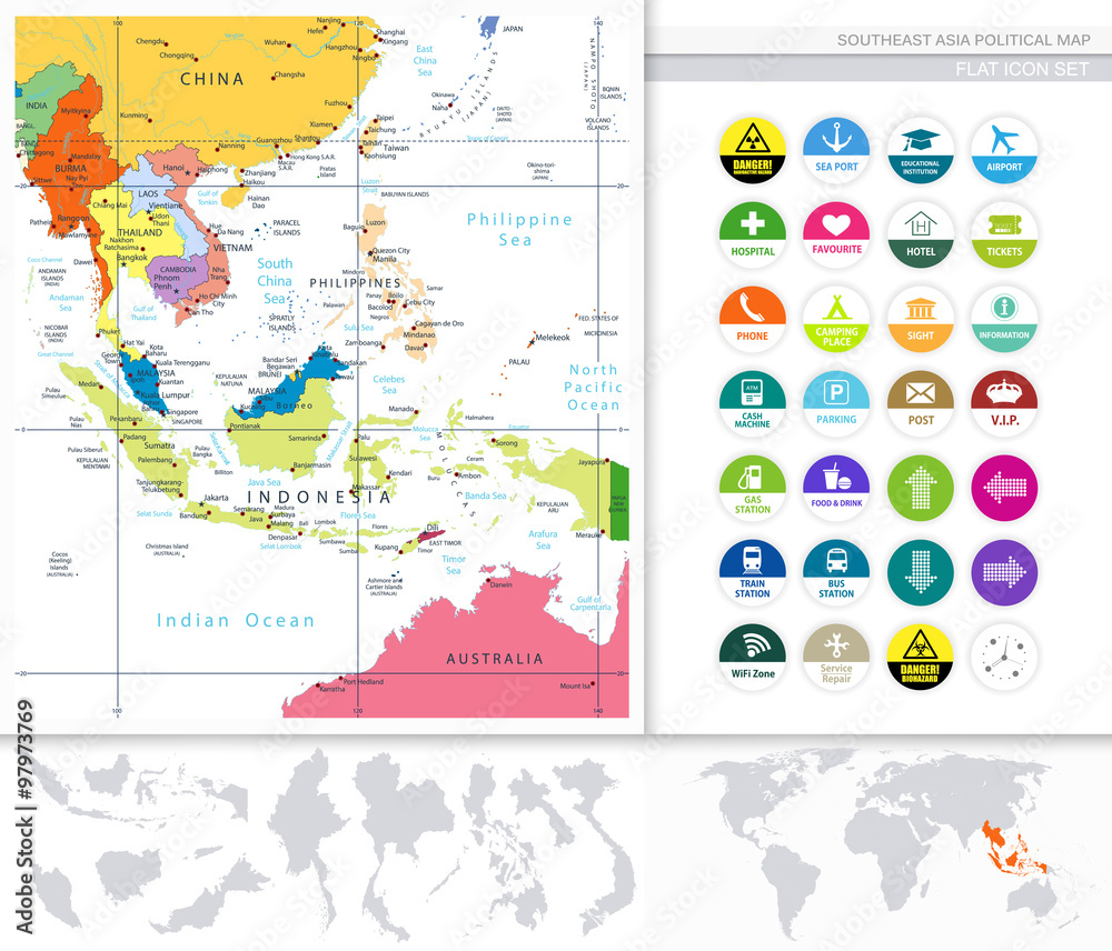
Southeast Asia Political Map and Flat Icon Set Stock Vector | Adobe Stock
Single Color Southeast Asia Map With Countries, Capitals, Major Cities

Single Color Southeast Asia Map with Countries, Capitals, Major Cities
Blank Southeast Asia Map
Blank Southeast Asia Map
Southeast Asia Map Blank Afbeeldingen Over Asia Map Outline – Blader
Southeast Asia Map Blank Afbeeldingen Over Asia Map Outline – Blader
Southeast Asia Vector Map. World Map By Region. Stock Vector | Adobe Stock
Southeast Asia vector map. world map by region. Stock Vector | Adobe Stock
Premium PSD | Southeast Asia Map On Transparent Background

Premium PSD | Southeast asia map on transparent background
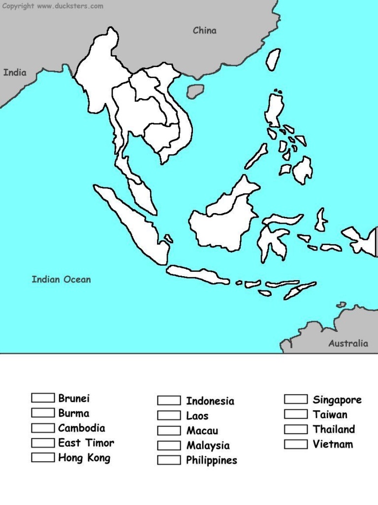
Printable Blank Map Of Southeast Asia

Printable Blank Map Of Southeast Asia
Blank_map_directory:southeast_asia [alternatehistory.com Wiki]
![blank_map_directory:southeast_asia [alternatehistory.com wiki]](http://www.alternatehistory.com/wiki/lib/exe/fetch.php?media=seasia1000base.png)
blank_map_directory:southeast_asia [alternatehistory.com wiki]
Maps Of Southeast Asia | Collection Of Maps Of Southeast Asia | Asia
Maps of Southeast Asia | Collection of maps of Southeast Asia | Asia ...
Free Printable Map Southeast Asia, Download Free Printable Map

Free printable map southeast asia, Download Free printable map ...
Southeast Asia Map Hi-res Stock Photography And Images - Alamy
Southeast asia map hi-res stock photography and images - Alamy
Southeast Asia Countries Political Map Geographical Stock Vector

Southeast Asia Countries Political Map Geographical Stock Vector ...
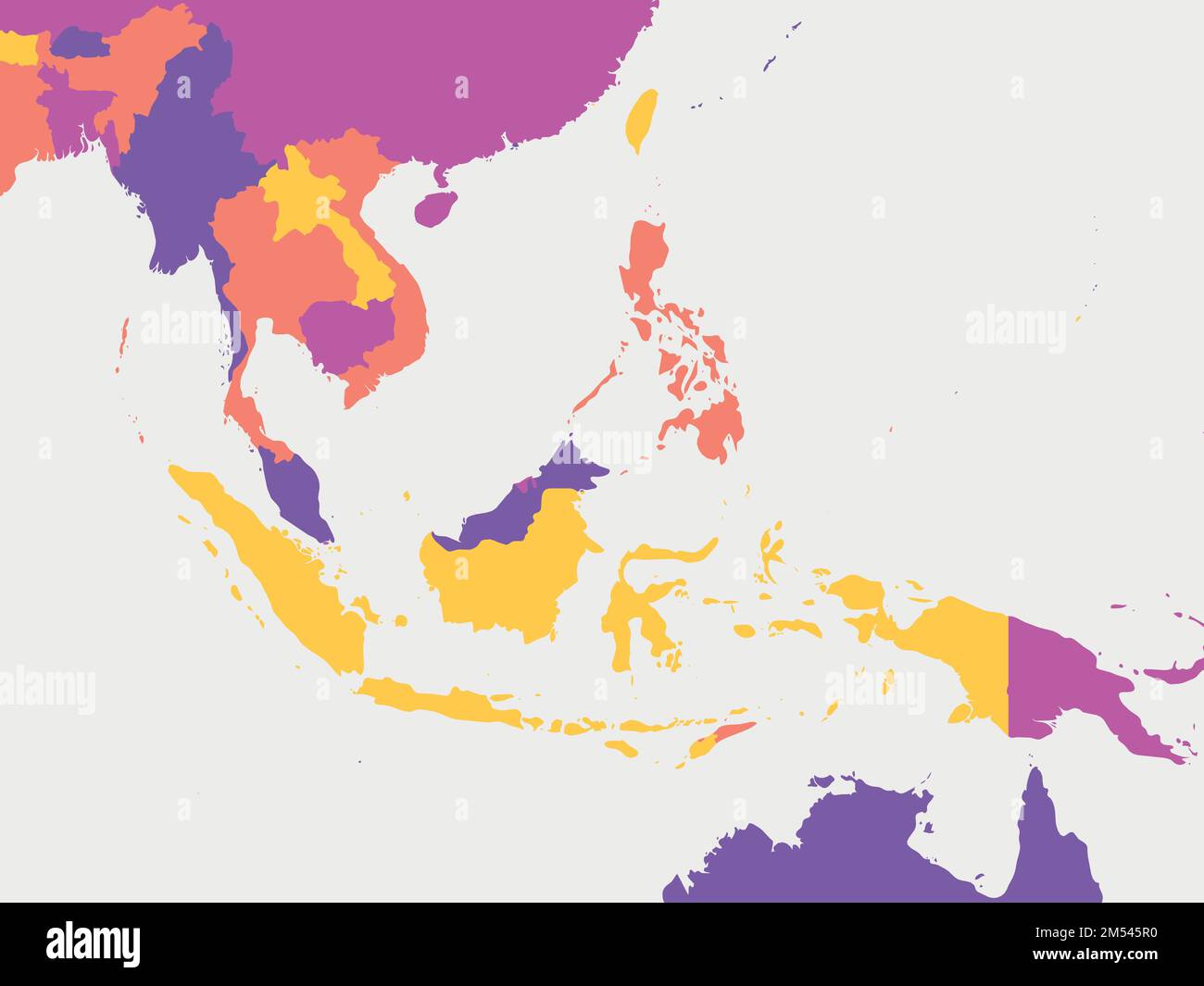
Southeast Asia Blank Map

Southeast Asia Blank Map