Exploring the Map of Australia State Borders: A Personal Guide to Down Under’s Boundaries
If you’ve ever looked at a map of Australia, you might notice those distinct lines carving up the continent into six states and two territories. But have you ever wondered why those borders look the way they do? In this guide, I’ll walk you through the fascinating story of Australia’s state borders—from the straight-line boundaries in the heart of the outback to the more natural, river-based lines in the southeast. Whether you’re planning a road trip, studying geography, or just curious, you’ll leave with a clear understanding of how these lines came to be and what makes each region unique.
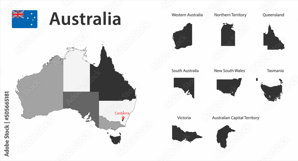
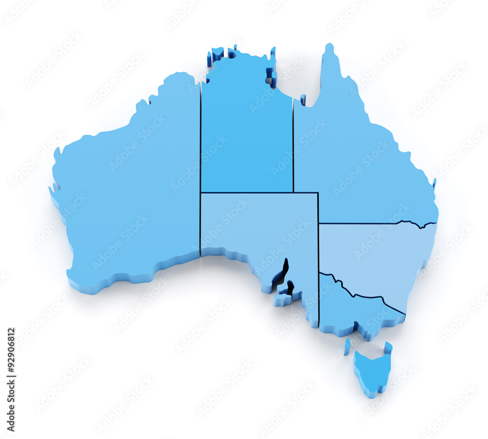
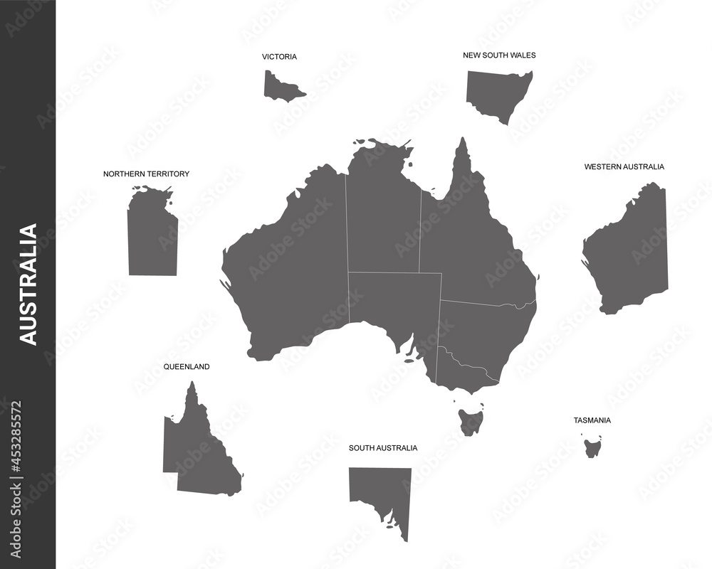
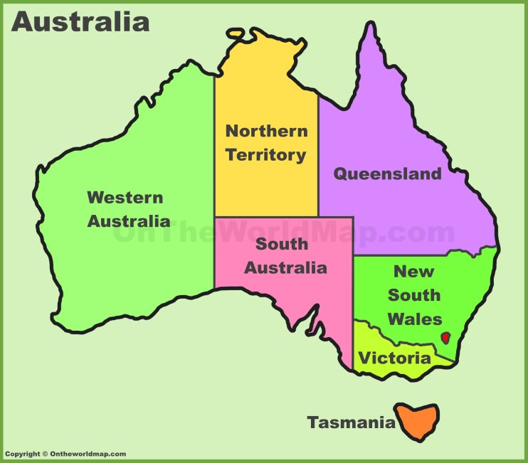
An Overview of Australia’s Six States and Two Territories
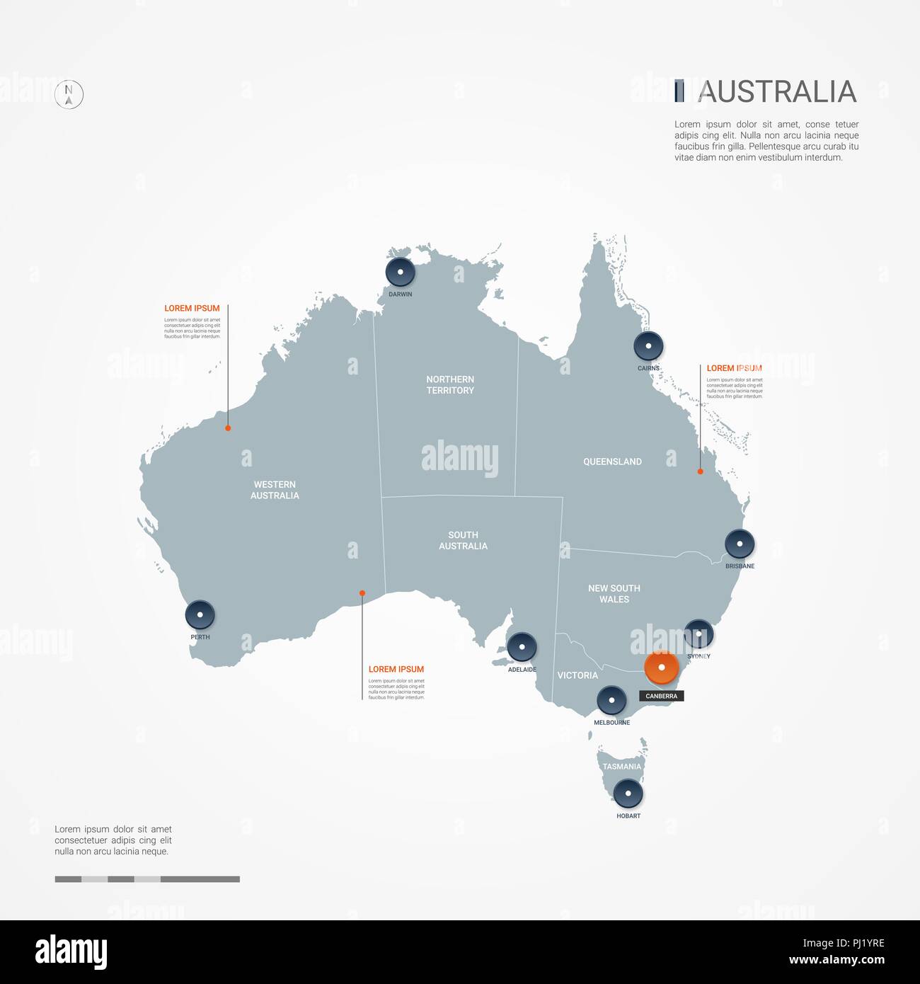
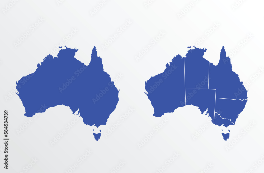
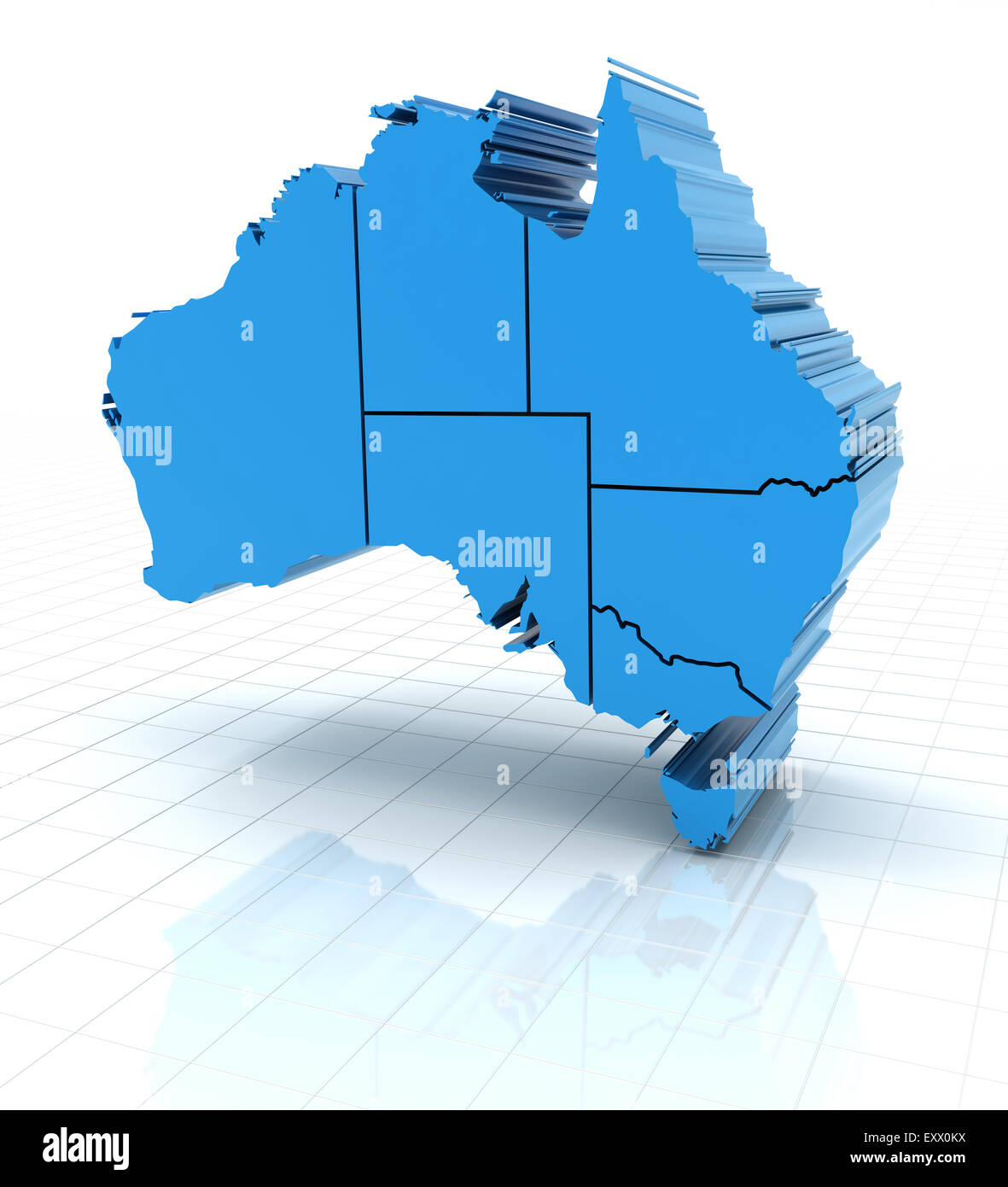
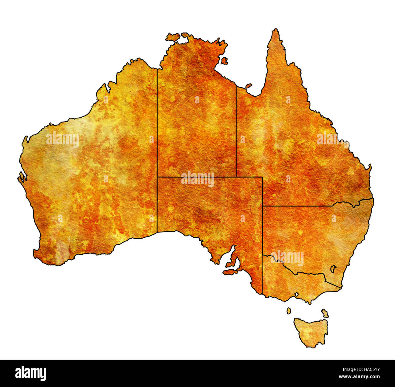
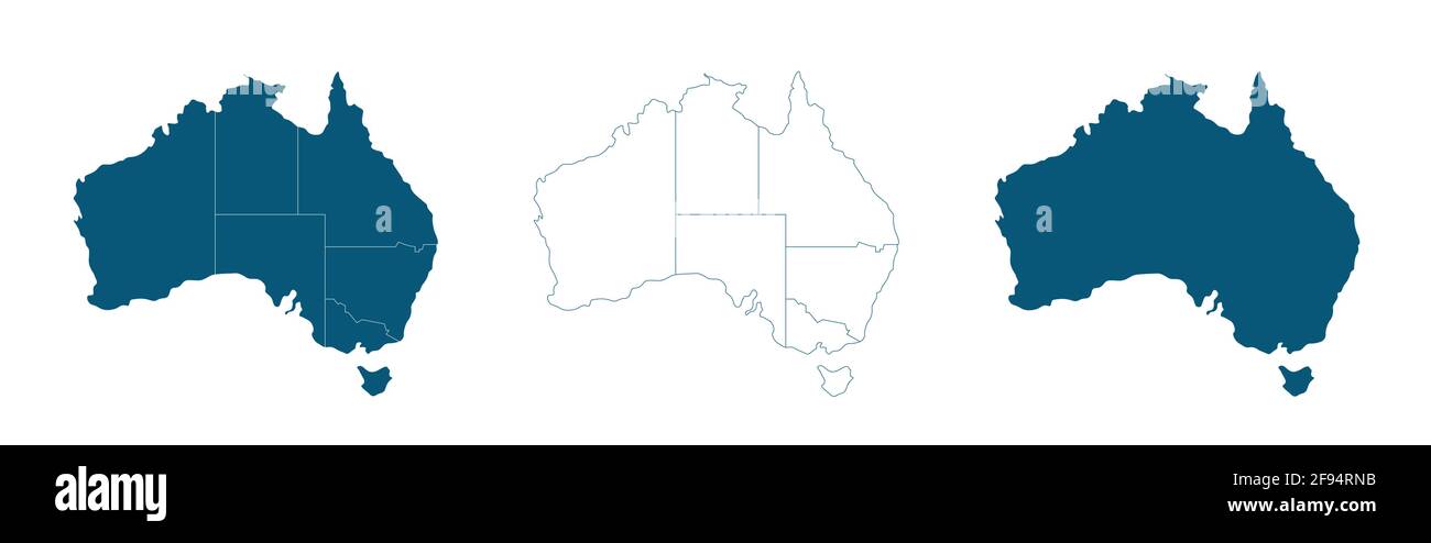
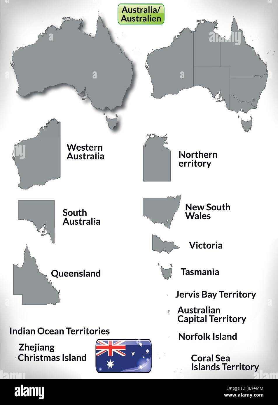
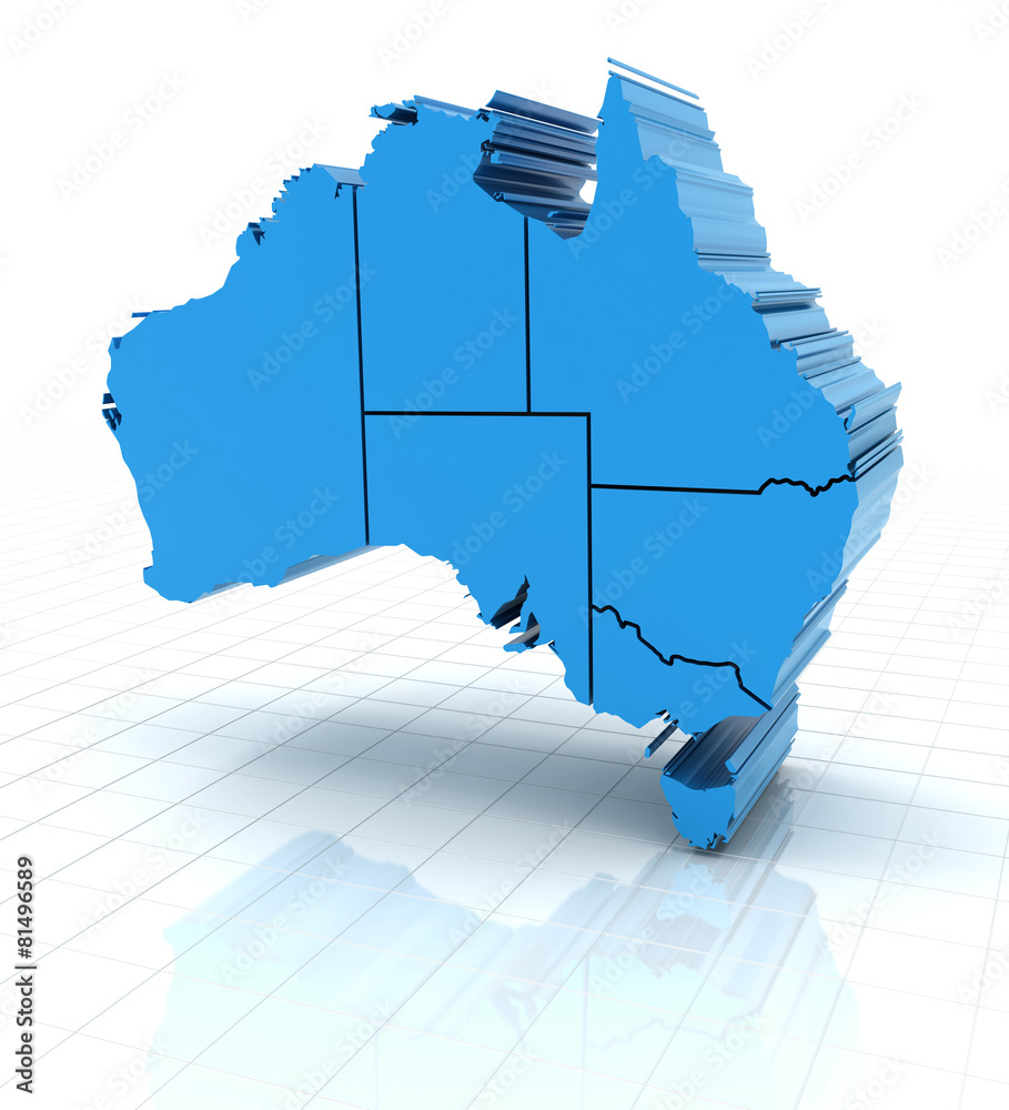
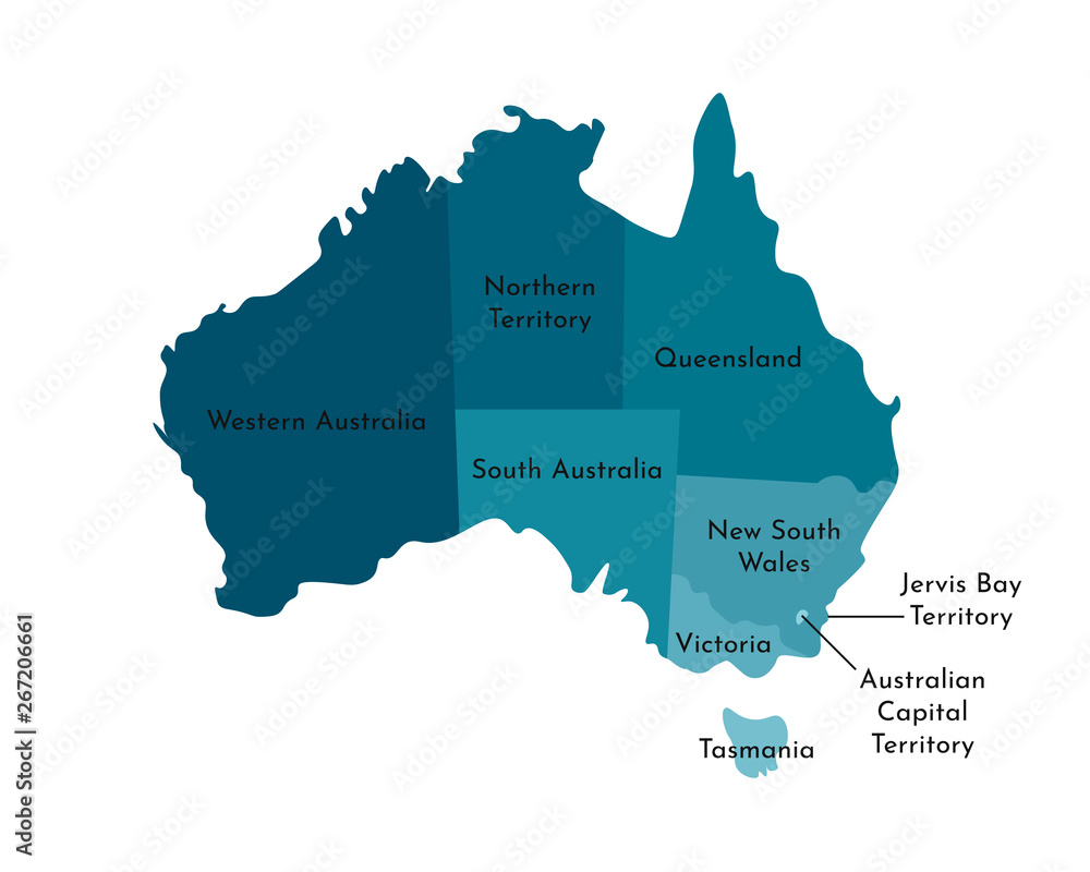
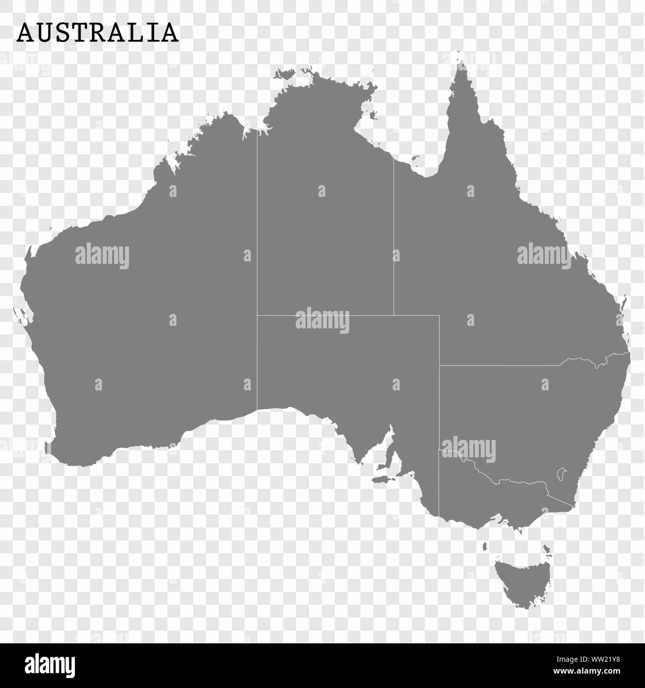
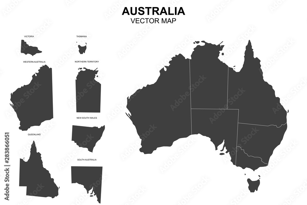
Australia is unique because its internal borders are a mix of historical quirks, colonial compromises, and straight lines drawn on a map without much regard for terrain. The mainland states are: New South Wales (NSW), Queensland (QLD), Victoria (VIC), South Australia (SA), Western Australia (WA), and the island state of Tasmania (TAS). Then you have the Northern Territory (NT) and the Australian Capital Territory (ACT), which contains Canberra. Each has its own government, but the federal government holds certain overarching powers. State borders are not just lines on a map—they define legal jurisdictions, time zones, and even cultural identities. For instance, crossing from Queensland into New South Wales can feel like stepping into a different world, with different road rules and even a different attitude toward daylight saving.
The Curious Case of Straight-Line Borders
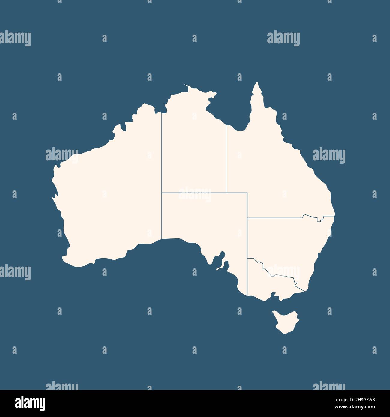
One of the most striking features of the map of Australia state borders is how many of them are straight lines. Look at the border between South Australia and the Northern Territory—it’s a perfect horizontal line at the 26th parallel south. Similarly, the border between Western Australia and South Australia runs along the 129th meridian east. These lines were drawn in a London office, not in the bush. They were pragmatic decisions by colonial officials who had no idea what the interior looked like. I find it remarkable that these borders have remained unchanged for over a century, despite the fact that they cut through deserts, Aboriginal lands, and vast cattle stations. It gives the map a clean, geometric look, but it also means that many communities are split by arbitrary lines.
The Natural Border: The Murray River
In contrast to the straight lines, the border between New South Wales and Victoria follows a natural feature: the Murray River. This is one of the few state borders in Australia that is defined by a watercourse. The Murray River runs for about 1,500 miles along the boundary, and it’s a lifeline for both states. The river border was established in the 1850s to resolve disputes over water rights and navigation. But here’s the tricky part: rivers change course over time. When the Murray shifts its channel, the border legally shifts with it—unless it avulses (jumps to a new path), in which case the old boundary remains. That’s a fascinating legal nuance that can confuse local landowners and even affect fishing rights. On a map, this border appears gently curved and organic, a stark contrast to the rigid lines in the west.
The Bizarre Border of the Australian Capital Territory
Another fascinating detail on the map of Australia state borders is the shape of the Australian Capital Territory (ACT). It’s not a simple rectangle—it was deliberately carved out of New South Wales in 1911 to create a neutral site for the national capital, Canberra. The border is a weirdly shaped polygon that includes a “jog” to incorporate the Molonglo River valley. The ACT is tiny compared to the states, covering just 910 square miles. But its border has caused endless confusion for residents, especially those living near the boundary. For example, you might live in a suburb that’s part of the ACT but your nearest hospital is in New South Wales, or vice versa. The map of the ACT looks like a puzzle piece, and it reminds you that borders are not always logical—they are the result of political compromise.
How State Borders Affect Everyday Life
State borders aren’t just abstract lines—they have real-world consequences. When you cross from Victoria into New South Wales, you’ll notice a sudden change in speed limits, liquor licensing laws, and even the types of bait you can use for fishing. In the outback, the border between South Australia and the Northern Territory marks a change in time zone: South Australia is 30 minutes behind the Northern Territory in summer. That half-hour difference can mess with your travel plans. I’ve driven across these borders, and it’s always a little jarring to see the “Welcome to…” sign and realize you’re now under different rules. For Indigenous communities, these borders are even more significant because they cut across traditional lands. The state lines were drawn without consulting Aboriginal people, and today, many native title claims must navigate these artificial boundaries.
Understanding the Northern Territory’s Unique Status
While it’s often lumped in with the states, the Northern Territory is technically a self-governing territory, not a state. Its borders are another straight-line affair: it’s bordered by South Australia to the south, Queensland to the east, and Western Australia to the west. The northern coastline is the only natural boundary. The NT’s border with Queensland runs along the 138th meridian east, while the western border with WA is the 129th meridian. These lines were set in 1862 and 1880, respectively. The territory has its own legislative assembly, but the federal government can overrule its laws—a fact that frustrates many Territorians. If you look at the map, you’ll see that the NT occupies a huge chunk of the continent, yet it has only a fraction of the population. The borders here feel vast and empty, which is part of the outback’s allure.
The Evolution of Tasmania’s Island Border
Tasmania is the only state with a complete water border: the Bass Strait separates it from mainland Australia. But even that is not as simple as it seems. The state border of Tasmania actually extends into the sea, covering numerous smaller islands like King Island and Flinders Island. These islands are part of the state of Tasmania, even though some are closer to Victoria. The maritime border was defined by a 1975 agreement that gave Tasmania control over offshore resources up to a certain limit. On a standard political map, Tasmania appears as a simple island, but the real border is a complex polygon in the ocean. It’s a great reminder that state borders are not just limited to land—they extend into the sea, affecting fishing, mining, and shipping rights.
Conclusion
The map of Australia state borders is far more than a simple division of land—it’s a living document of history, politics, and geography. From the ruler-straight lines of the outback to the winding Murray River border, each boundary tells a story of exploration, compromise, and sometimes conflict. Understanding these borders helps you appreciate why Australia feels so diverse, even within a single country. Next time you look at a map of Australia, I hope you see not just lines, but the rich tapestry of decisions that shaped them. Whether you’re a traveler, a student, or just someone curious about the world, the borders of Australia are a fascinating gateway into the country’s soul.
Illustration Australia Map Borders Provinces States Stock Illustration

Illustration Australia Map Borders Provinces States Stock Illustration ...
What Borders Australia At Joseph Eason Blog
What Borders Australia at Joseph Eason blog
Vector Map Of Australia With Borders Of States Stock Vector | Adobe Stock
vector map of australia with borders of states Stock Vector | Adobe Stock
A Map Of Australia With The Country Borders Highlighted In Blue. Stock
A map of Australia with the country borders highlighted in blue. Stock ...
Detailed Map Of Australia With State Borders Vector Image
Detailed map of australia with state borders Vector Image
Isolated Colored Map Australia Borders Regions Stock Vector (Royalty

Isolated Colored Map Australia Borders Regions Stock Vector (Royalty ...
Extruded Australia Map With State Borders Stock Photo - Alamy
Extruded Australia map with state borders Stock Photo - Alamy
Borders Of The State Of Australia On The Map. Stock Video - Video Of

Borders of the State of Australia on the Map. Stock Video - Video of ...
Borders Of Territories On Map Of Australia With Administrative
borders of territories on map of australia with administrative ...
Map Australia Shows Country Borders Place Stock Vector (Royalty Free

Map Australia Shows Country Borders Place Stock Vector (Royalty Free ...
Vector Map Of Australia With Borders Of States Stock Vector Image & Art
Vector map of Australia with borders of states Stock Vector Image & Art ...
Premium Vector | High Detailed Vector Map Of Australia. Borders And

Premium Vector | High detailed vector map of Australia. Borders and ...
What Borders Australia At Joseph Eason Blog
What Borders Australia at Joseph Eason blog
Australia, Card, Outline, Administration, Borders, State, Atlas, Map Of
australia, card, outline, administration, borders, state, atlas, map of ...
A Colorful Vector Map Of Australias States And Territories With

A Colorful Vector Map Of Australias States And Territories With ...
Extruded Australia Map With State Borders Stock Illustration | Adobe Stock
Extruded Australia map with state borders Stock Illustration | Adobe Stock
Map Of Australia Showing States And Territories | Australia’s Defining

Map of Australia showing states and territories | Australia’s Defining ...
Map Australia State Borders 3d Render Stock Illustration 274930640

Map Australia State Borders 3d Render Stock Illustration 274930640 ...
Premium Vector | A Map Of Australia With The Country's Borders

Premium Vector | A map of Australia with the country's borders
Australia States And Territories Map | List Of Australia States And
Australia States And Territories Map | List of Australia States And ...
What Borders Australia At Joseph Eason Blog

What Borders Australia at Joseph Eason blog
Map Of Australian State Borders

Map of Australian State Borders
Premium Vector | Isolated Colored Map Of Australia With Borders

Premium Vector | Isolated colored map of Australia with borders
Vector Map Australia Borders States Stock Vector (Royalty Free

Vector Map Australia Borders States Stock Vector (Royalty Free ...
Detailed Map Of Australia With State Borders – Royalty-Free Vector
Detailed map of australia with state borders – Royalty-Free Vector ...
Map Of Australia - With Borders Of States Stock Vector | Adobe Stock
map of australia - with borders of states Stock Vector | Adobe Stock
Map Of Australia With State Borders Illustrating Regional Divisions

Map of Australia with state borders illustrating regional divisions ...
Vector Isolated Illustration Of Simplified Administrative Map Of
Vector isolated illustration of simplified administrative map of ...
Colored Map Of Australia With Clear State Borders. High-detail Design

Colored map of Australia with clear state borders. High-detail design ...
High Quality Map Of Australia With Borders Of The Regions Stock Vector
High quality map of Australia with borders of the regions Stock Vector ...
Vector Map Of Australia With Borders Of States Stock Vector | Adobe Stock
vector map of australia with borders of states Stock Vector | Adobe Stock
Vector Isolated Illustration Of Simplified Administrative Map Of

Vector isolated illustration of simplified administrative map of ...
Detailed Map Of Australia With Borders Graphic By RNko · Creative Fabrica

Detailed Map of Australia with Borders Graphic by RNko · Creative Fabrica